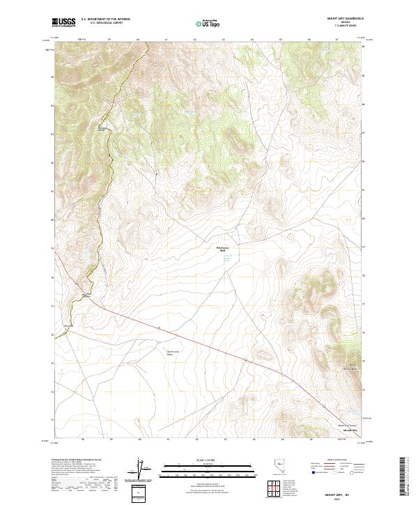
2021 Map of Mount Airy
USGS Topo · Published 2021About this map
The high desert landscape of central Nevada is defined by the New Pass Range and the crossing of the Churchill Co and Lander Co border. This modern 2021 study documents the vital water sources that have historically supported ranching and transit through these mountains, including Indian Spring, Barrel Spring, and the high-elevation Iron Tank Spring. To the east, the terrain descends toward Smith Creek Valley, dominated by the prominent Mt Airy Mesa and Mount Airy Summit.
Find a feature on this map
23 named features on this map. Tap any name to fly to it.
Don’t see what you’re looking for? This feature index may not catch every label — zoom into the map to look around manually.
Map Details
Editions of this 2021 Mount Airy Map
This is the sole edition of this map. No revisions or reprints were ever made.
Other maps of this area

1955 · Millett
USGS Topo · 1:250,000

1959 · Millett
USGS Topo · 1:250,000

1966 · Edwards Creek Valley
USGS Topo · 1:62,500

1969 · Mount Airy
USGS Topo · 1:24,000

1969 · Mount Airy NW
USGS Topo · 1:24,000

1969 · Mount Airy NE
USGS Topo · 1:24,000

1969 · Gandolfo Canyon
USGS Topo · 1:24,000

1969 · Mount Airy Mesa
USGS Topo · 1:24,000

1969 · Emigrant Peak
USGS Topo · 1:24,000

1969 · Carroll Summit NE
USGS Topo · 1:24,000