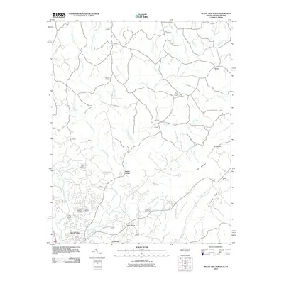
2010 Map of Mount Airy North
USGS Topo · Published 2010About this map
Ararat River drainage patterns define the landscape of Surry County in this 2010 study, where the northern edges of Mount Airy meet the foothills of the Blue Ridge. The map detail is particularly useful for genealogists, documenting a high density of rural burial grounds such as Gods Acre Cemetery, Oakdale Cemetery, and the Paynetown Community Cemetery. The community of Flat Rock is anchored by the prominent Flat Rock Quarry, illustrating the local significance of the granite industry.
Find a feature on this map
69 named features on this map. Tap any name to fly to it.
Don’t see what you’re looking for? This feature index may not catch every label — zoom into the map to look around manually.
Map Details
Editions of this 2010 Mount Airy North Map
This is the sole edition of this map. No revisions or reprints were ever made.
Other maps of this area

1889 · Hillsville
USGS Topo · 1:125,000

1891 · Yadkinville
USGS Topo · 1:125,000

1892 · Hillsville
USGS Topo · 1:125,000

1893 · Yadkinville
USGS Topo · 1:125,000

1896 · Hillsville
USGS Topo · 1:125,000

1928 · Stuart
USGS Topo · 1:48,000

1931 · Stuart
USGS Topo · 1:62,500

1953 · Winston-Salem
USGS Topo · 1:250,000

1955 · Winston-Salem
USGS Topo · 1:250,000

1957 · Mount Airy
USGS Topo · 1:62,500