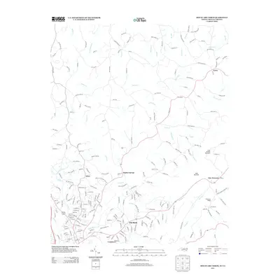
2013 Map of Mount Airy North
USGS Topo · Published 2013About this map
The Ararat River carves a central path through this terrain on the North Carolina and Virginia border, anchoring a landscape defined by small communities and ridge-top settlements. The area shows a distinct clustering of homes and local infrastructure in Sulphur Springs and Flat Rock, while the northern reaches transitions into the higher elevations of Slate Mountain and Long Branch Mountain. The road network follows the natural contours of the land, connecting older settlements like Ararat and Salem to the more concentrated development near Combstown.
Find a feature on this map
224 named features on this map. Tap any name to fly to it.
Don’t see what you’re looking for? This feature index may not catch every label — zoom into the map to look around manually.
Map Details
Editions of this 2013 Mount Airy North Map
This is the sole edition of this map. No revisions or reprints were ever made.
Other maps of this area

1889 · Hillsville
USGS Topo · 1:125,000

1891 · Yadkinville
USGS Topo · 1:125,000

1892 · Hillsville
USGS Topo · 1:125,000

1893 · Yadkinville
USGS Topo · 1:125,000

1896 · Hillsville
USGS Topo · 1:125,000

1928 · Stuart
USGS Topo · 1:48,000

1931 · Stuart
USGS Topo · 1:62,500

1953 · Winston-Salem
USGS Topo · 1:250,000

1955 · Winston-Salem
USGS Topo · 1:250,000

1957 · Mount Airy
USGS Topo · 1:62,500