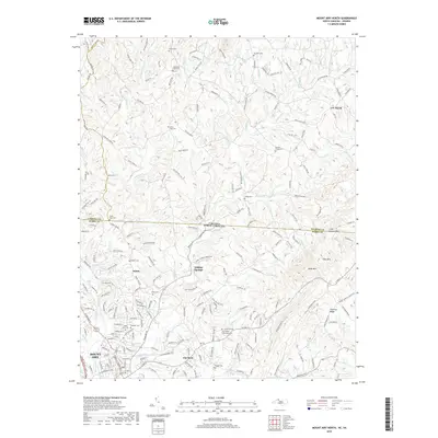
2019 Map of Mount Airy North
USGS Topo · Published 2019About this map
Mount Airy serves as the focal point of this northern Surry County landscape, where the Ararat River and Lovills Creek converge amidst a dense network of local cemeteries and historic crossroads. The map documents the rural communities of Salem, Flat Rock, and Sulphur Springs, reaching north to the Virginia North Carolina state line. This border region is characterized by small family and community burial grounds, such as State Line Cem, Hunters Chapel Cem, and Gods Acre Cem, which provide essential landmarks for genealogical research. The local economy is represented by the Granite Quarry Trl, while the physical geography is dominated by the elevations of Slate Mtn and Chestnut Ridge. This 2019 survey captures the modern road infrastructure, including State Rte 103 and State Rte 104, as they connect these Piedmont settlements.
Find a feature on this map
53 named features on this map. Tap any name to fly to it.
Don’t see what you’re looking for? This feature index may not catch every label — zoom into the map to look around manually.
Map Details
Editions of this 2019 Mount Airy North Map
This is the sole edition of this map. No revisions or reprints were ever made.
Other maps of this area

1889 · Hillsville
USGS Topo · 1:125,000

1891 · Yadkinville
USGS Topo · 1:125,000

1892 · Hillsville
USGS Topo · 1:125,000

1893 · Yadkinville
USGS Topo · 1:125,000

1896 · Hillsville
USGS Topo · 1:125,000

1928 · Stuart
USGS Topo · 1:48,000

1931 · Stuart
USGS Topo · 1:62,500

1953 · Winston-Salem
USGS Topo · 1:250,000

1955 · Winston-Salem
USGS Topo · 1:250,000

1957 · Mount Airy
USGS Topo · 1:62,500