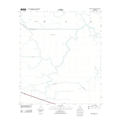
2012 Map of Mount Airy NW
USGS Topo · Published 2012About this map
The Petite Amite River and the engineered Amite River Diversion Canal define the northern hydrology of this landscape, reflecting modern efforts to manage the complex water systems of Livingston Parish. The terrain is characterized by slightly elevated coteaus and ridges, including Sarah Ridge, Coteau Chene Blanc, and Coteau Chene Verde, which rise above the surrounding swamp. These natural high points contrast with a web of slow-moving waterways such as Blind Bayou and the winding Blind River.
Find a feature on this map
22 named features on this map. Tap any name to fly to it.
Don’t see what you’re looking for? This feature index may not catch every label — zoom into the map to look around manually.
Map Details
Editions of this 2012 Mount Airy NW Map
This is the sole edition of this map. No revisions or reprints were ever made.
Other maps of this area

1892 · Mount Airy
USGS Topo · 1:62,500

1892 · Donaldsonville
USGS Topo · 1:62,500

1934 · Denham Springs
USGS Topo · 1:62,500

1934 · Springfield
USGS Topo · 1:62,500

1939 · Springfield
USGS Topo · 1:62,500

1939 · Denham Springs
USGS Topo · 1:62,500

1939 · Donaldsonville
USGS Topo · 1:62,500

1946 · North of Garyville
USGS Topo · 1:31,680

1946 · Convent
USGS Topo · 1:31,680
1946 · Lutcher
USGS Topo · 1:31,680
Featured Places
- Livingston Parish, LA
- Ascension Parish, LA
- St. John the Baptist Parish, LA
- St. James Parish, LA
- United States