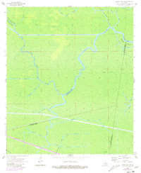
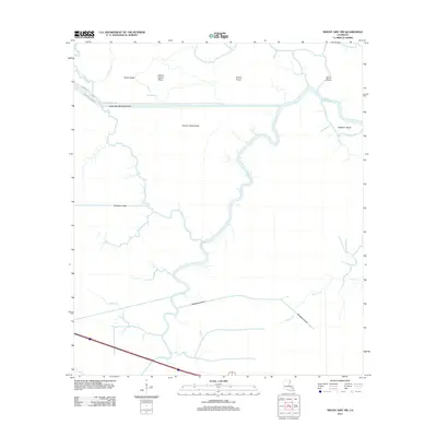
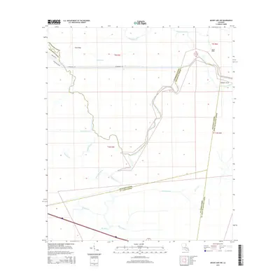
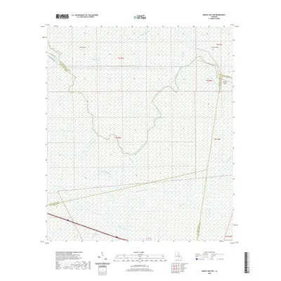
1962 Map of Mount Airy NW
USGS Topo · Published 1981About this map
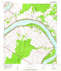
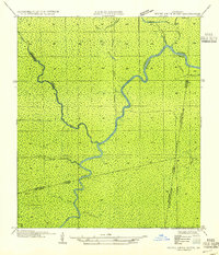
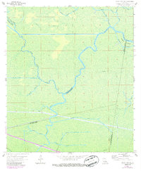
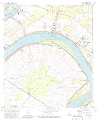
The Blind River and the Amite River Diversion Canal dominate this wetland landscape at the convergence of Ascension, Livingston, St. James, and St. John the Baptist Parishes. This survey reveals a complex hydrological network of bayous and man-made cuts, including the Petite Amite River and New River Canal, reflecting mid-century water management and drainage efforts in the low-lying basin. The lack of traditional roads is notable, with transportation instead marked by waterways and an Old Railroad Grade that cuts through the swampy terrain. Local history and genealogy researchers can trace named features like Alligator Island, Bayou Chene Blanc, and Bayou Secret, which suggest the specific drainage patterns and landmarks utilized by residents and industry in this watery corridor before significant modern development altered the region's character.
Find a feature on this map
26 named features on this map. Tap any name to fly to it.
Don’t see what you’re looking for? This feature index may not catch every label — zoom into the map to look around manually.
Map Details
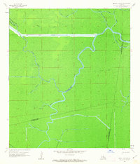
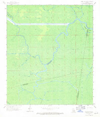
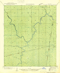
Editions of this 1962 Mount Airy NW Map
4 editions found
Historical Maps of Livingston Parish Through Time
17 maps found
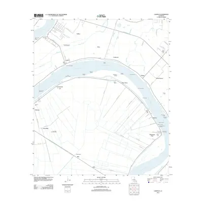
1946 Petite Amite River
Ascension Parish, LA
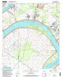
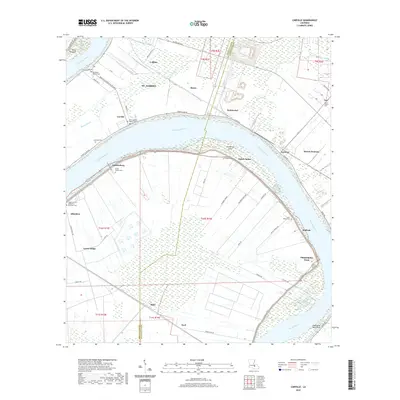
1953 Carville
Ascension Parish, LA
1954 Petite Amite River
Ascension Parish, LA
1962 Mount Airy NW
Ascension Parish, LA
1974 Carville
Ascension Parish, LA
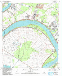
1992 Carville
Ascension Parish, LA
1999 Carville
Ascension Parish, LA
2012 Carville
Ascension Parish, LA
2012 Mount Airy NW
Ascension Parish, LA
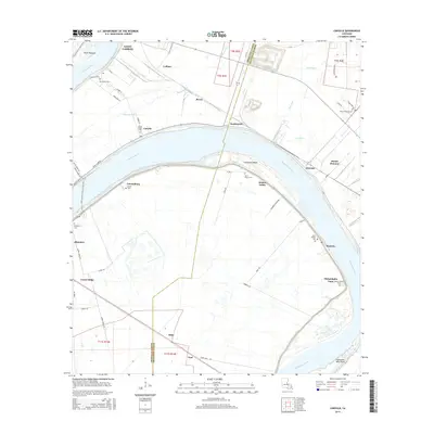
2015 Carville
Ascension Parish, LA
2015 Mount Airy NW
Ascension Parish, LA
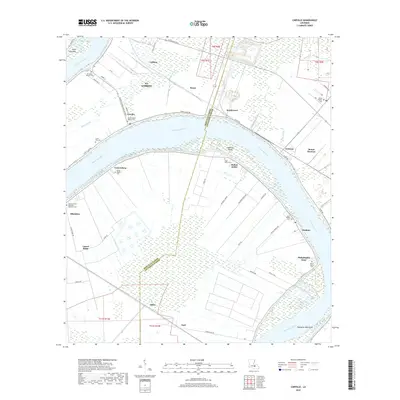
2018 Carville
Ascension Parish, LA
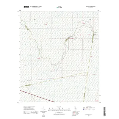
2018 Mount Airy NW
Ascension Parish, LA
2020 Carville
Ascension Parish, LA
2020 Mount Airy NW
Ascension Parish, LA
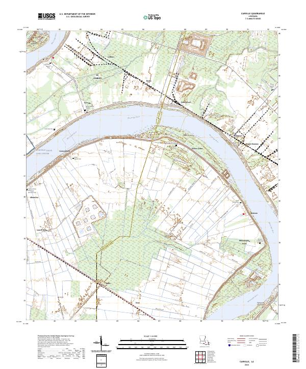
2024 Carville
Ascension Parish, LA
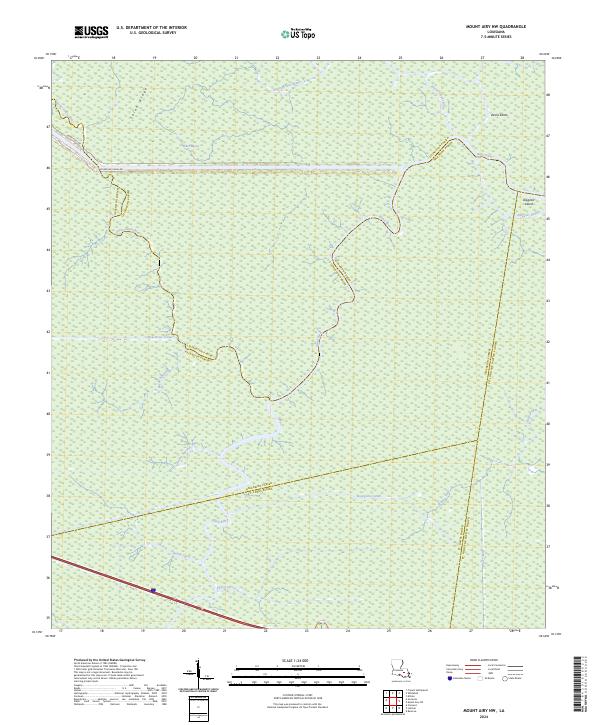
2024 Mount Airy NW
Ascension Parish, LA
Featured Locations
- United States
- Ascension Parish, LA
- Livingston Parish, LA
- St. James Parish, LA
- St. John the Baptist Parish, LA