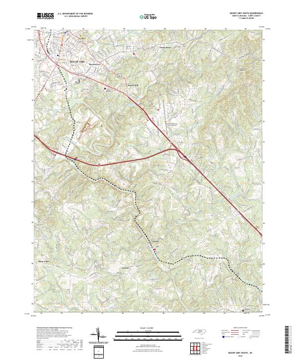
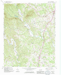
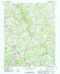
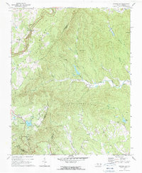
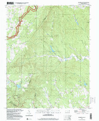
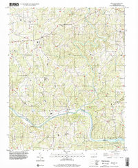
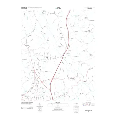
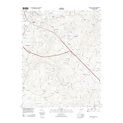
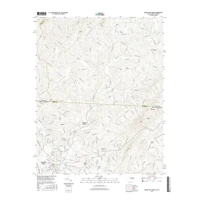
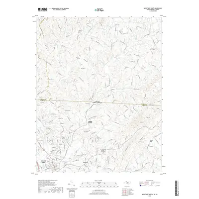
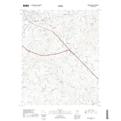
2022 Map of Mount Airy South
USGS Topo · Published 2022About this map
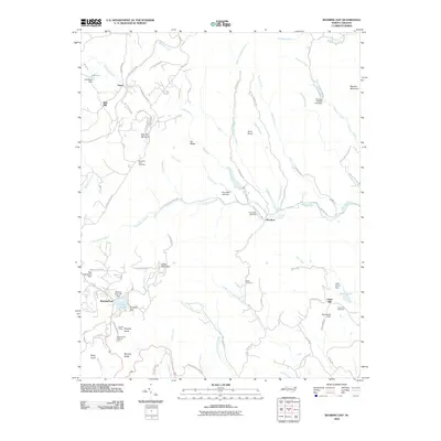
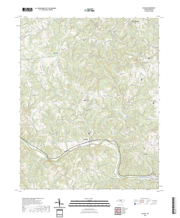
Mount Airy and its southern neighboring communities define the landscape of Surry County on this 2022 survey. The topography is shaped by the winding Ararat River, which flows past Bannertown and through a series of creek-fed valleys including Stewart Creek and Caddle Creek. This region reflects a complex network of rural settlements like Ash Hill, Ararat, and Boones Hill, where residential development and industrial infrastructure, such as the Mount Airy/Surry County Airport, sit alongside established local landmarks.
Find a feature on this map
211 named features on this map. Tap any name to fly to it.
Don’t see what you’re looking for? This feature index may not catch every label — zoom into the map to look around manually.
Map Details
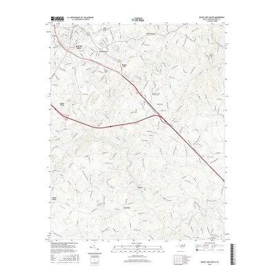
Editions of this 2022 Mount Airy South Map
This is the sole edition of this map. No revisions or reprints were ever made.
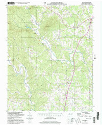
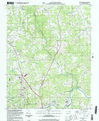
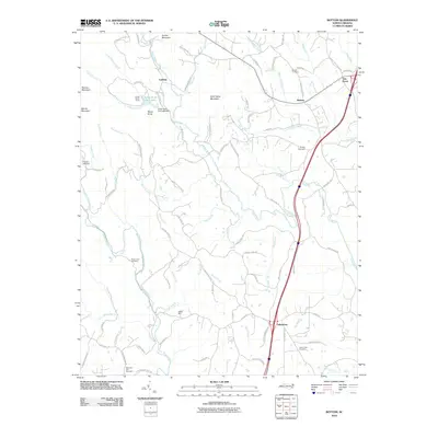
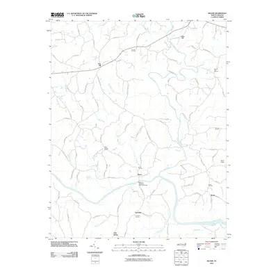
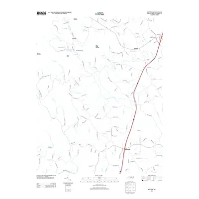
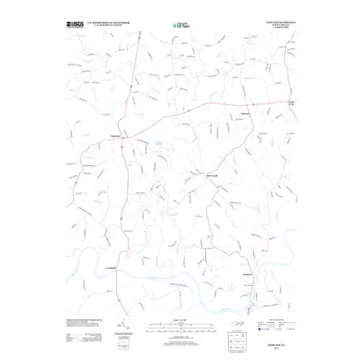
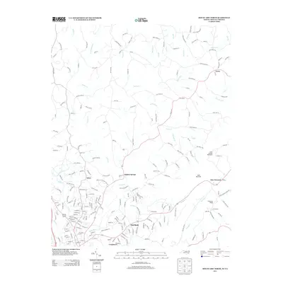
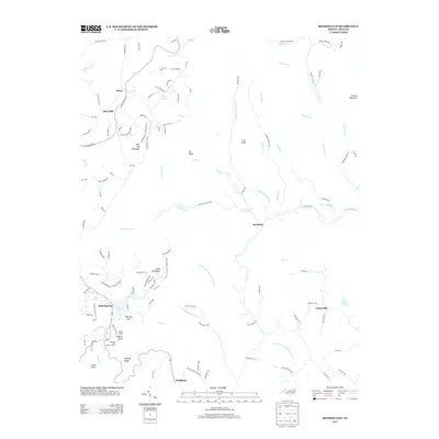
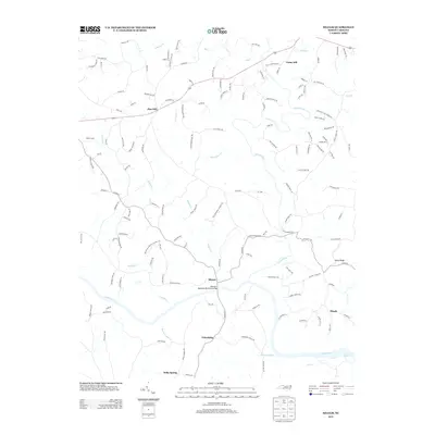
Historical Maps of Mount Airy Through Time
49 maps found
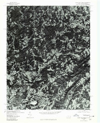
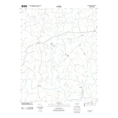
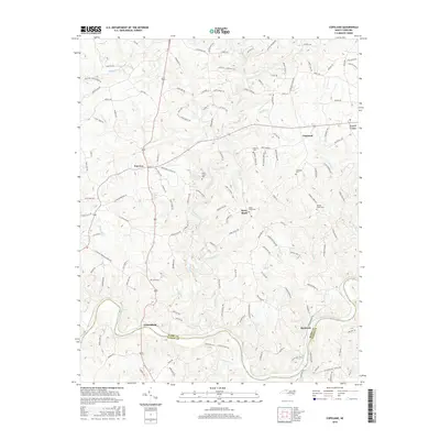
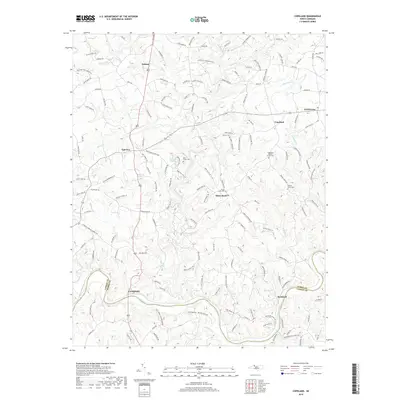
1970 Copeland
Surry County, NC
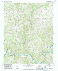
1970 Mount Airy South
Surry County, NC
1970 Siloam
Surry County, NC
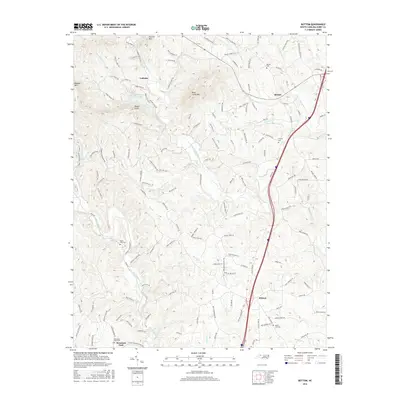
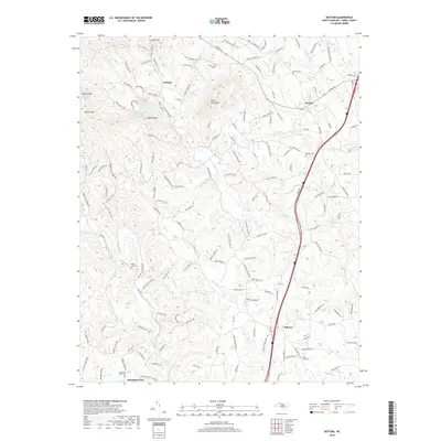
1971 Bottom
Surry County, NC
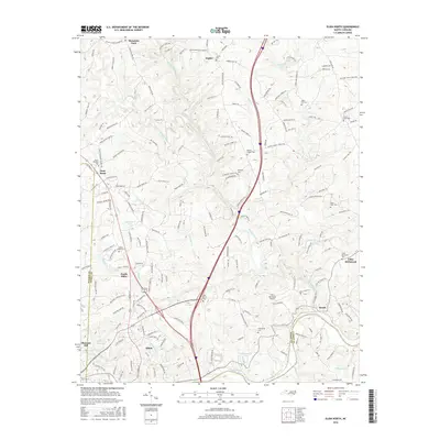
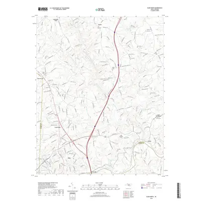
1971 Elkin North
Surry County, NC
1971 Roaring Gap
Surry County, NC
1976 Elkin North
Surry County, NC
1976 Mount Airy North
Surry County, NC
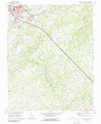
1976 Mount Airy South
Surry County, NC
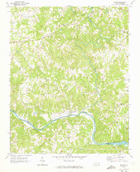
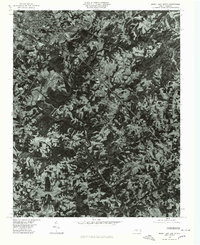
1996 Mount Airy South
Surry County, NC
1997 Roaring Gap
Surry County, NC
1997 Siloam
Surry County, NC
2000 Bottom
Surry County, NC
2000 Elkin North
Surry County, NC
2010 Bottom
Surry County, NC
2010 Copeland
Surry County, NC
2010 Elkin North
Surry County, NC
2010 Mount Airy North
Surry County, NC
2010 Mount Airy South
Surry County, NC
2010 Roaring Gap
Surry County, NC
2010 Siloam
Surry County, NC
2013 Bottom
Surry County, NC
2013 Copeland
Surry County, NC
2013 Elkin North
Surry County, NC
2013 Mount Airy North
Surry County, NC
2013 Roaring Gap
Surry County, NC
2013 Siloam
Surry County, NC
2014 Mount Airy South
Surry County, NC
2016 Bottom
Surry County, NC
2016 Copeland
Surry County, NC
2016 Elkin North
Surry County, NC
2016 Mount Airy North
Surry County, NC
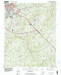
2016 Mount Airy South
Surry County, NC
2016 Roaring Gap
Surry County, NC
2016 Siloam
Surry County, NC
2019 Bottom
Surry County, NC
2019 Copeland
Surry County, NC
2019 Elkin North
Surry County, NC
2019 Mount Airy North
Surry County, NC
2019 Mount Airy South
Surry County, NC
2019 Roaring Gap
Surry County, NC
2019 Siloam
Surry County, NC
2022 Bottom
Surry County, NC
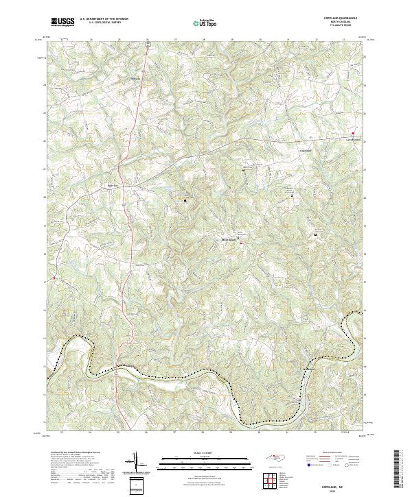
2022 Copeland
Surry County, NC
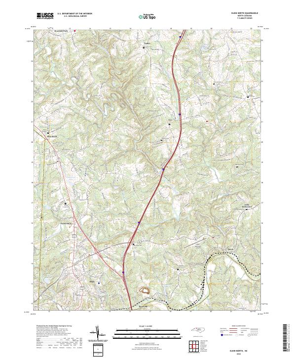
2022 Elkin North
Surry County, NC
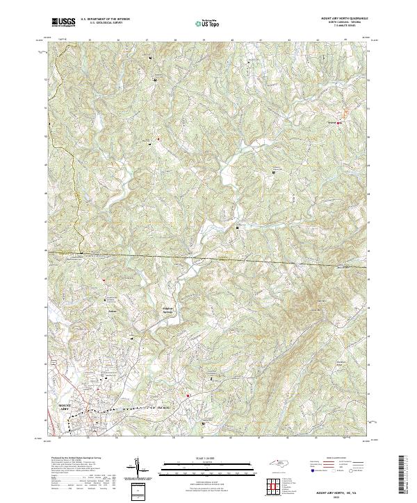
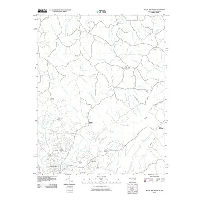
2022 Mount Airy North
Surry County, NC
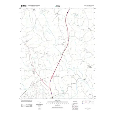
2022 Mount Airy South
Surry County, NC
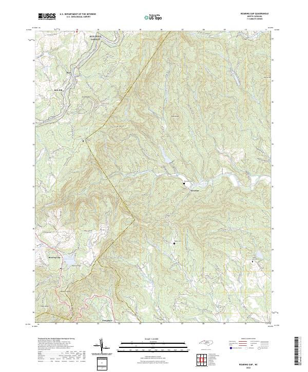
2022 Roaring Gap
Surry County, NC
2022 Siloam
Surry County, NC