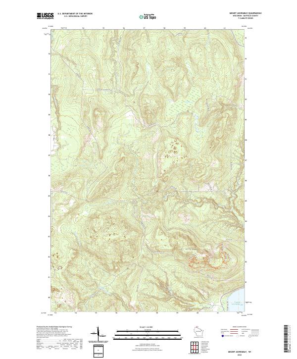
2022 Map of Mount Ashwabay
USGS Topo · Published 2022About this map
Mt Ashwabay anchors this section of the Wisconsin shoreline, overlooking the cold waters of Lake Superior at the northern edge of Bayfield County. The terrain is defined by a series of drainages, including Sand River and Raspberry River, which cut through the uplands toward the lake. Large wetland areas like Sultz Swamp break up the wooded landscape, while an intricate network of fire lanes and forest roads, such as Smith Fire Ln and Schultz Fire Ln, suggest a landscape managed for timber and conservation.
Find a feature on this map
37 named features on this map. Tap any name to fly to it.
Don’t see what you’re looking for? This feature index may not catch every label — zoom into the map to look around manually.
Map Details
Editions of this 2022 Mount Ashwabay Map
This is the sole edition of this map. No revisions or reprints were ever made.
Other maps of this area

1941 · Bayfield
USGS Topo · 1:48,000

1942 · Ashland
USGS Topo · 1:48,000

1944 · Moquah
USGS Topo · 1:48,000

1944 · Cornucopia
USGS Topo · 1:48,000

1946 · Cornucopia
USGS Topo · 1:48,000

1946 · Bayfield
USGS Topo · 1:48,000

1947 · Moquah
USGS Topo · 1:48,000

1947 · Ashland
USGS Topo · 1:48,000

1953 · Ashland
USGS Topo · 1:250,000

1958 · Ashland
USGS Topo · 1:250,000