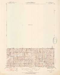
1945 Map of Mount Ayr
USGS Topo · Published 1954About this map
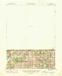
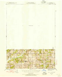
Hatfield and Lotts anchor this agricultural landscape along the border between Iowa and Missouri during the mid-1940s. The terrain is defined by the intricate branching of Lotts Creek, Muddy Creek, and the East Fork Big Creek, which carve through the townships of Lincoln and Hamilton. This survey captures a rural infrastructure of one-room schoolhouses and country churches that served farming families before the consolidation of rural districts, with sites like Lone Rock Sch and Turkey Grove Sch spaced regularly across the hills. Genealogists can locate several family and community burial grounds, including Petry Cem and Brown Cem. The northern half of the map is designated as an Unsurveyed Area, leaving a stark contrast between the detailed topography of the borderlands and the unmapped territory to the north.
Find a feature on this map
28 named features on this map. Tap any name to fly to it.
Don’t see what you’re looking for? This feature index may not catch every label — zoom into the map to look around manually.
Map Details
Editions of this 1945 Mount Ayr Map
2 editions found
Historical Maps of Mount Ayr Through Time
9 maps found