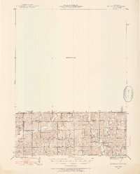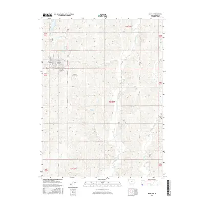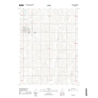
1985 Map of Mount Ayr
USGS Topo · Published 1990About this map
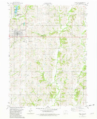
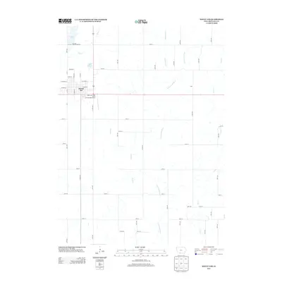
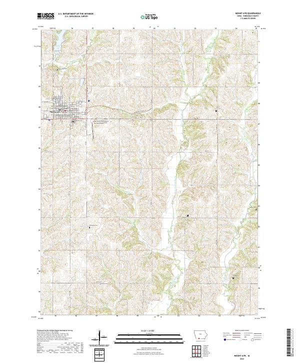
Mount Ayr serves as a central hub for this southwestern Iowa landscape during the mid-1980s, where the agricultural grid is defined by the headwaters of several major river systems. The Burlington Northern Railroad and Chicago and North Western Railroad provide the primary industrial corridors, connecting numerous grain-handling settlements such as Villisca, Corning, and Diagonal. An Old Grade reflects the evolving rail infrastructure of the region, while conservation areas like the Ringgold State Wildlife Management Area and Lake of Three Fires State Park preserve pockets of woodland and water. The terrain is deeply carved by the North, Middle, and South forks of the Grand River alongside the curiously named One Hundred and Two River, creating a complex network of valleys and ridges that dictate the placement of small communities like Clearfield and Blockton.
Find a feature on this map
132 named features on this map. Tap any name to fly to it.
Don’t see what you’re looking for? This feature index may not catch every label — zoom into the map to look around manually.
Map Details
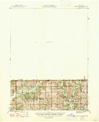
Editions of this 1985 Mount Ayr Map
2 editions found

Historical Maps of Mount Ayr Through Time
9 maps found