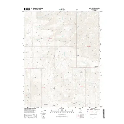
2015 Map of Mount Barcroft
USGS Topo · Published 2015About this map
The high-elevation peaks of the White-Inyo Range dominate this 2015 survey, where the physical geography of the Inyo National Forest is defined by a series of prominent summits including Mount Barcroft, Piute Mtn, and Sheep Mtn. The landscape is characterized by a high-altitude network of meadows and basins that collect the headwaters of numerous radiating streams. Significant drainages such as McAfee Cr and its various forks, along with Cottonwood Cr and Tres Plumas Cr, carve deep paths through the terrain. Evidence of high-country accessibility and environmental significance is found at Patriarch Grove, while large open areas like McAfee Meadow and Cottonwood Basin suggest the expansive natural catchment areas found at these elevations near the Mono and Inyo county line.
Find a feature on this map
31 named features on this map. Tap any name to fly to it.
Don’t see what you’re looking for? This feature index may not catch every label — zoom into the map to look around manually.
Map Details
Editions of this 2015 Mount Barcroft Map
This is the sole edition of this map. No revisions or reprints were ever made.
Other maps of this area

1913 · Bishop
USGS Topo · 1:125,000

1917 · White Mountain
USGS Topo · 1:125,000

1947 · Mariposa
USGS Topo · 1:250,000

1948 · Mariposa
USGS Topo · 1:250,000

1949 · Bishop
USGS Topo · 1:62,500

1951 · Bishop
USGS Topo · 1:62,500

1951 · Blanco Mountain
USGS Topo · 1:62,500

1957 · Mariposa
USGS Topo · 1:250,000

1962 · Mt. Barcroft
USGS Topo · 1:62,500

1962 · White Mtn. Peak
USGS Topo · 1:62,500