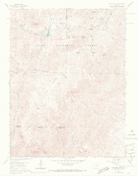
1961 Map of Mount Big Chief
USGS Topo · Published 1970About this map
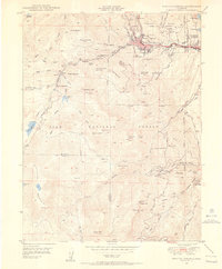
Rosemont and the surrounding high-altitude terrain of the Pike National Forest define this landscape south of Colorado Springs. The map documents a period of early development for outdoor recreation and ranching, evidenced by the Emerald Valley Boys Camp, Emerald Valley Ranch, and Turkey Canyon Ranch. Infrastructure for the growing region is anchored by the Penrose-Rosemont Reservoir and the winding Gold Camp Road, which traces the former rail route into the mountains. Notable landmarks like St Peters Dome and Cheyenne Mtn overlook a complex network of drainages, including Beaver Creek and Little Fountain Creek. Evidence of early resource exploration remains visible through numerous prospects scattered across the slopes of Mount Vigil and Sugarloaf Mountain.
Find a feature on this map
45 named features on this map. Tap any name to fly to it.
Don’t see what you’re looking for? This feature index may not catch every label — zoom into the map to look around manually.
Map Details
Editions of this 1961 Mount Big Chief Map
6 editions found
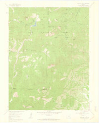
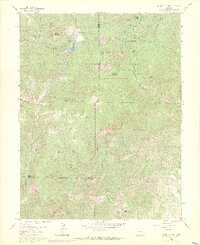
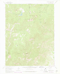

Other maps of this area

1893 · Colorado Springs
USGS Topo · 1:125,000

1894 · Pikes Peak
USGS Topo · 1:125,000

1901 · Pikes Peak
USGS Topo · 1:125,000

1901 · Pikes Peak
USGS Topo · 1:62,500

1909 · Colorado Springs
USGS Topo · 1:125,000

1942 · Colorado Springs
USGS Topo · 1:125,000
1948 · Mount Big Chief
USGS Topo · 1:24,000

1948 · Mount Pittsburg
USGS Topo · 1:24,000

1948 · Timber Mountain
USGS Topo · 1:24,000
1948 · Manitou Springs
USGS Topo · 1:24,000