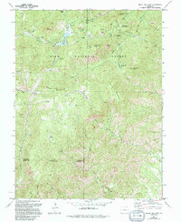
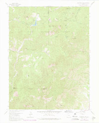
1961 Map of Mount Big Chief
USGS Topo · Published 1994About this map
Mount Big Chief and the high elevations of the Pike National Forest dominate this landscape west of Colorado Springs, where the terrain transitions from steep peaks to hidden valleys. Historic travel routes such as the Gold Camp Road and Stage Road wind through the topography, connecting remote points like Elk Ranch and the Emerald Valley Ranch. These roads follow the difficult contours of the land, passing landmarks like the Devils Slide and the St Peters Dome Shooting Range.
Find a feature on this map
52 named features on this map. Tap any name to fly to it.
Don’t see what you’re looking for? This feature index may not catch every label — zoom into the map to look around manually.
Map Details
Editions of this 1961 Mount Big Chief Map
6 editions found
Other maps of this area

1893 · Colorado Springs
USGS Topo · 1:125,000

1894 · Pikes Peak
USGS Topo · 1:125,000

1901 · Pikes Peak
USGS Topo · 1:125,000

1901 · Pikes Peak
USGS Topo · 1:62,500

1909 · Colorado Springs
USGS Topo · 1:125,000

1942 · Colorado Springs
USGS Topo · 1:125,000

1948 · Mount Big Chief
USGS Topo · 1:24,000

1948 · Mount Pittsburg
USGS Topo · 1:24,000

1948 · Timber Mountain
USGS Topo · 1:24,000

1948 · Manitou Springs
USGS Topo · 1:24,000