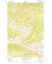
1950 Map of Mount Carrie
USGS Topo · Published 1978About this map
Olympic Hot Springs and the high peaks of the Bailey Range define this mid-century look at the backcountry within Olympic National Park. The survey illustrates a complex network of glacial and river systems, including the Carrie Glacier and Fairchild Glacier feeding the upper reaches of the Hoh River. A well-established trail system for 1950 is mapped in detail, including the Happy Ridge Trail and the Soleduck Trail, which provided access to remote locations like the Seven Lakes Basin. Strategic mountain shelters, such as the Boulder Lake Shelter and Heart Lake Shelter, are noted along these routes, marking the infrastructure supporting early wilderness exploration. The map also delineates the Clallam and Jefferson County boundary line as it crosses the High Divide.
Find a feature on this map
48 named features on this map. Tap any name to fly to it.
Don’t see what you’re looking for? This feature index may not catch every label — zoom into the map to look around manually.
Map Details
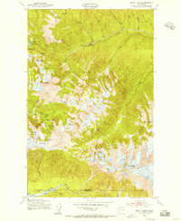
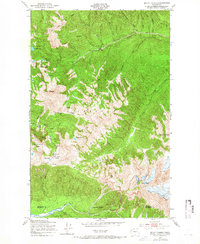
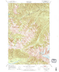
Editions of this 1950 Mount Carrie Map
4 editions found
Other maps of this area

1918 · Lake Crescent
USGS Topo · 1:62,500

1919 · Port Crescent
USGS Topo · 1:62,500

1922 · Lake Crescent
USGS Topo · 1:62,500

1935 · Mount Olympus
USGS Topo · 1:62,500

1939 · Mount Tom
USGS Topo · 1:62,500

1942 · Mount Olympus
USGS Topo · 1:62,500

1950 · Elwha
USGS Topo · 1:24,000

1950 · Hurricane Hill
USGS Topo · 1:24,000

1950 · Lake Sutherland
USGS Topo · 1:24,000

1950 · Lake Crescent
USGS Topo · 1:24,000