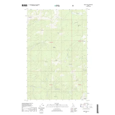
2020 Map of Mount Casey
USGS Topo · Published 2020About this map
The Selkirk Mountains define this high-elevation terrain in Bonner County, Idaho, where drainage networks like the Middle Fork E River and N Fork E River carve through the landscape. This 2020 survey highlights the prominence of Mt Casey and its surrounding peaks, including Sundance Mtn and Lost Peak. The map provides clear evidence of recreational and forestry access through the Highpoint Trail and several established forest development roads such as Nat For Dev Rd 2431. In the southeastern portion, the terrain descends toward Schweitzer Basin and Colburn Lake, marking the transition toward the larger valley systems. Small alpine water bodies like Caribou Lake and Keokee Lake are visible, tucked into the high ridges between Hellroaring Ridge and Keokee Mtn.
Find a feature on this map
37 named features on this map. Tap any name to fly to it.
Don’t see what you’re looking for? This feature index may not catch every label — zoom into the map to look around manually.
Map Details
Editions of this 2020 Mount Casey Map
This is the sole edition of this map. No revisions or reprints were ever made.
Other maps of this area

1901 · Sandpoint
USGS Topo · 1:125,000

1911 · Priest Lake
USGS Topo · 1:250,000

1911 · Sandpoint
USGS Topo · 1:125,000

1913 · Priest Lake
USGS Topo · 1:250,000

1958 · Sandpoint
USGS Topo · 1:250,000

1963 · Sandpoint
USGS Topo · 1:250,000

1967 · Priest Lake SE
USGS Topo · 1:24,000

1967 · Coolin
USGS Topo · 1:24,000

1967 · Mount Roothaan
USGS Topo · 1:24,000

1967 · Prater Mtn
USGS Topo · 1:24,000