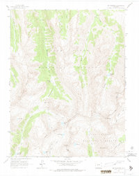
1960 Map of Mount Champion
USGS Topo · Published 1968About this map
The Continental Divide anchors this high-altitude survey of the Colorado Rockies, marking the jagged boundary between the White River National Forest and the San Isabel National Forest. This terrain is defined by the headwaters of the Fryingpan River and Roaring Fork River, where glacial basins hold remote alpine waters like the Granite Lakes and Lost Man Lake. The landscape reflects a legacy of high-country exploration and resource extraction, notably at the Champion Mine on the slopes of Mt Champion. A complex network of historic routes, including an Aerial Tramway and multiple Pack Trails, spiders across the slopes to navigate the steep relief between South Fork Pass and Twining Peak. The lack of paved roads underscores the isolation of these peaks during the late 1950s, preserved here as a snapshot of the wilderness before modern recreation intensified.
Find a feature on this map
37 named features on this map. Tap any name to fly to it.
Don’t see what you’re looking for? This feature index may not catch every label — zoom into the map to look around manually.
Map Details
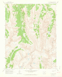
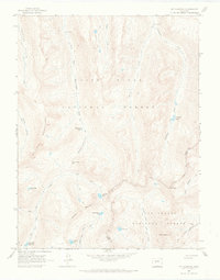
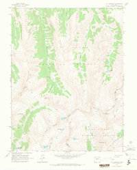
Editions of this 1960 Mount Champion Map
4 editions found
Other maps of this area

1889 · Leadville
USGS Topo · 1:125,000

1891 · Leadville
USGS Topo · 1:125,000

1909 · Mount Jackson
USGS Topo · 1:125,000

1911 · Mount Jackson
USGS Topo · 1:125,000

1935 · Mount Elbert
USGS Topo · 1:62,500

1938 · Mount Elbert
USGS Topo · 1:62,500

1939 · Mount Elbert
USGS Topo · 1:62,500

1942 · Leadville
USGS Topo · 1:125,000

1949 · Holy Cross
USGS Topo · 1:62,500

1951 · Holy Cross
USGS Topo · 1:62,500