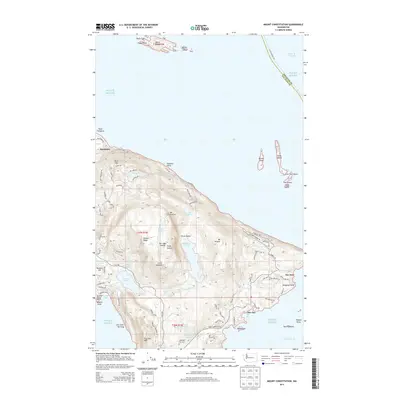
2014 Map of Mount Constitution
USGS Topo · Published 2014About this map
Mt Constitution dominates the eastern landscape of Orcas Island, marking the highest point in the San Juan Islands archipelago. This 2014 survey documents the dense network of recreation and residency on the island, from the historic Rosario Resort Marina on Cascade Bay to the small community at Doe Bay. The interior is defined by significant freshwater bodies, including Mountain Lake and Cascade Lake, which are fed by a series of dramatic vertical features such as Cavern Falls and Rustic Falls.
Find a feature on this map
98 named features on this map. Tap any name to fly to it.
Don’t see what you’re looking for? This feature index may not catch every label — zoom into the map to look around manually.
Map Details
Editions of this 2014 Mount Constitution Map
This is the sole edition of this map. No revisions or reprints were ever made.
Other maps of this area

1907 · Blaine
USGS Topo · 1:62,500

1943 · Orcas Island
USGS Topo · 1:62,500

1943 · Anacortes
USGS Topo · 1:62,500

1951 · Anacortes
USGS Topo · 1:62,500

1952 · Lummi Bay
USGS Topo · 1:24,000

1952 · Blaine
USGS Topo · 1:62,500

1957 · Orcas Island
USGS Topo · 1:62,500

1957 · Victoria
USGS Topo · 1:250,000

1973 · Cypress Island
USGS Topo · 1:24,000

1973 · Sucia Island
USGS Topo · 1:24,000