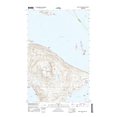
2017 Map of Mount Constitution
USGS Topo · Published 2017About this map
Mount Constitution dominates this landscape on the eastern side of Orcas Island, surrounded by a complex network of coastal settlements and inland freshwater bodies. The map details the residential pockets of Buckhorn, Doe Bay, and Sea Acre, connected by winding roads such as Point Lawrence Rd and Raccoon Point Rd. Genealogists may find interest in the Olga-Doe Bay Cem located south of Mountain Lake. The terrain is marked by significant peaks including Buck Mtn and Mt Pickett, with the island's coastline defined by Cascade Bay and Rosario Point. Beyond the main island, the survey includes several satellite islands in the Rosario Strait and Puget Sound, such as Matia Island to the north and the cluster of The Sisters to the east. This 2017 survey reflects the modern infrastructure of these island communities, from the docks at Cascade Bay to the trail systems around False Summit.
Find a feature on this map
101 named features on this map. Tap any name to fly to it.
Don’t see what you’re looking for? This feature index may not catch every label — zoom into the map to look around manually.
Map Details
Editions of this 2017 Mount Constitution Map
This is the sole edition of this map. No revisions or reprints were ever made.
Other maps of this area

1907 · Blaine
USGS Topo · 1:62,500

1943 · Orcas Island
USGS Topo · 1:62,500

1943 · Anacortes
USGS Topo · 1:62,500

1951 · Anacortes
USGS Topo · 1:62,500

1952 · Lummi Bay
USGS Topo · 1:24,000

1952 · Blaine
USGS Topo · 1:62,500

1957 · Orcas Island
USGS Topo · 1:62,500

1957 · Victoria
USGS Topo · 1:250,000

1973 · Cypress Island
USGS Topo · 1:24,000

1973 · Sucia Island
USGS Topo · 1:24,000