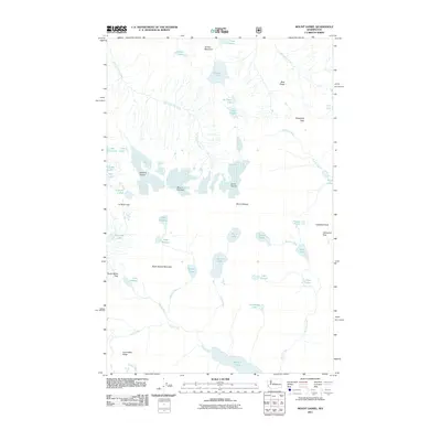
2011 Map of Mount Daniel
USGS Topo · Published 2011About this map
Mount Daniel and the surrounding peaks of the Cascade Range dominate this high-elevation landscape as it appeared in 2011. The drainage patterns of the East Fork Foss River, Cle Elum River, and Spinola Creek originate among these summits, fed by the massive ice fields of Hinman Glacier and Lynch Glacier. This map documents a complex alpine hydrology where numerous remote basins contain named water bodies such as Marmot Lake, Jade Lake, and the aptly paired Spade Lake and Shovel Lake.
Find a feature on this map
48 named features on this map. Tap any name to fly to it.
Don’t see what you’re looking for? This feature index may not catch every label — zoom into the map to look around manually.
Map Details
Editions of this 2011 Mount Daniel Map
This is the sole edition of this map. No revisions or reprints were ever made.
Other maps of this area

1901 · Snoqualmie Pass
USGS Topo · 1:125,000

1902 · Skykomish
USGS Topo · 1:125,000

1903 · Snoqualmie
USGS Topo · 1:125,000

1905 · Skykomish
USGS Topo · 1:125,000

1957 · Wenatchee
USGS Topo · 1:250,000

1961 · Snoqualmie Pass
USGS Topo · 1:62,500

1961 · Kachess Lake
USGS Topo · 1:62,500

1965 · Stevens Pass
USGS Topo · 1:24,000

1965 · Mount Daniel
USGS Topo · 1:24,000

1965 · Skykomish
USGS Topo · 1:24,000