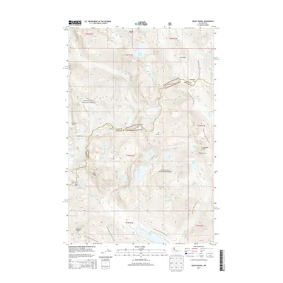
2014 Map of Mount Daniel
USGS Topo · Published 2014About this map
Mt Daniel stands at the center of this high-altitude landscape, anchoring the boundary where King and Kittitas counties meet. The region is defined by significant ice and water systems, including the Hinman Glacier and Lynch Glacier, which feed into high-mountain basins like Jade Lake and Marmot Lake. Steep drainages such as the East Fork Foss River and Cle Elum River originate in these heights, creating a complex network of alpine valleys.
Find a feature on this map
56 named features on this map. Tap any name to fly to it.
Don’t see what you’re looking for? This feature index may not catch every label — zoom into the map to look around manually.
Map Details
Editions of this 2014 Mount Daniel Map
This is the sole edition of this map. No revisions or reprints were ever made.
Other maps of this area

1901 · Snoqualmie Pass
USGS Topo · 1:125,000

1902 · Skykomish
USGS Topo · 1:125,000

1903 · Snoqualmie
USGS Topo · 1:125,000

1905 · Skykomish
USGS Topo · 1:125,000

1957 · Wenatchee
USGS Topo · 1:250,000

1961 · Snoqualmie Pass
USGS Topo · 1:62,500

1961 · Kachess Lake
USGS Topo · 1:62,500

1965 · Stevens Pass
USGS Topo · 1:24,000

1965 · Mount Daniel
USGS Topo · 1:24,000

1965 · Skykomish
USGS Topo · 1:24,000