
1904 Map of Mount Desert
USGS Topo · Published 1904About this map
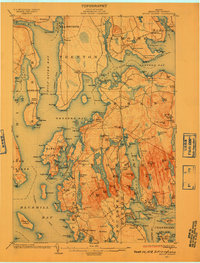
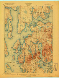
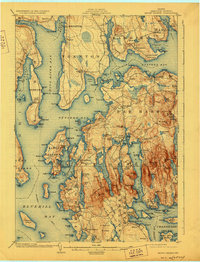
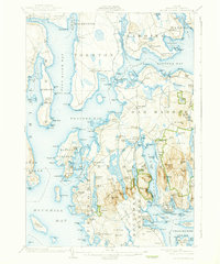
The maritime character of coastal Maine is fully realized in this early century survey of the island landscape, where the Steamboat Route defines the primary connection between isolated harbors. The village of Eden sits at the heart of the island’s development, while smaller outposts like Salisbury Cove and Hulls Cove line the northern shores. Industrial activity is represented by the Hall Quarry and the U.S. Coaling Station near Lamoine Beach, indicating the strategic and economic importance of these protected waters.
Find a feature on this map
176 named features on this map. Tap any name to fly to it.
Don’t see what you’re looking for? This feature index may not catch every label — zoom into the map to look around manually.
Map Details
Editions of this 1904 Mount Desert Map
5 editions found
Other maps of this area

1900 · Orland
USGS Topo · 1:62,500

1904 · Deer Isle
USGS Topo · 1:62,500

1904 · Swan Island
USGS Topo · 1:62,500

1904 · Bar Harbor
USGS Topo · 1:62,500

1904 · Bluehill
USGS Topo · 1:62,500

1905 · Penobscot Bay
USGS Topo · 1:125,000

1911 · Ellsworth
USGS Topo · 1:62,500

1930 · Tunk Lake
USGS Topo · 1:48,000

1932 · Tunk Lake
USGS Topo · 1:62,500

1940 · Ellsworth
USGS Topo · 1:62,500