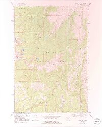
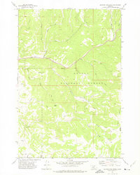
1971 Map of Mount Edith
USGS Topo · Published 1991About this map
The high Big Belt Mountains within Helena National Forest define this landscape, dominated by the prominent peaks of Mount Edith and Mount Baldy. Surveyed in the early 1970s, the map reveals a network of high-elevation water bodies including Edith Lake, Hidden Lake, and Upper Baldy Lake. The terrain is characterized by steep drainages like Deep Creek and the sharp rock formations of The Needles, with the county line between Meagher Co and Broadwater Co following the crest of the range.
Find a feature on this map
29 named features on this map. Tap any name to fly to it.
Don’t see what you’re looking for? This feature index may not catch every label — zoom into the map to look around manually.
Map Details
Editions of this 1971 Mount Edith Map
3 editions found
Other maps of this area

1886 · Fort Logan
USGS Topo · 1:250,000

1948 · White Sulphur Springs
USGS Topo · 1:250,000

1950 · Duck Creek Pass
USGS Topo · 1:62,500

1958 · White Sulphur Springs
USGS Topo · 1:250,000

1961 · White Sulphur Springs
USGS Topo · 1:250,000

1965 · White Sulphur Springs
USGS Topo · 1:250,000

1966 · Boulder Baldy
USGS Topo · 1:24,000
1971 · Battle Mountain
USGS Topo · 1:24,000
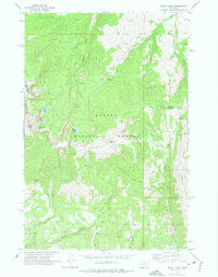
1971 · Mount Edith
USGS Topo · 1:24,000
1971 · Sulphur Bar Creek
USGS Topo · 1:24,000