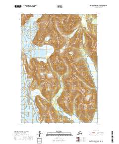
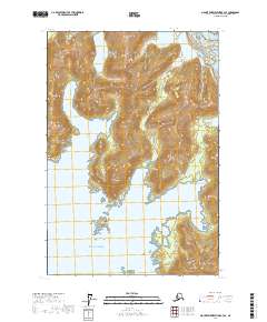
2017 Map of Mount Fairweather B-2 NW
USGS Topo · Published 2017About this map
Glacier Bay National Park dominates this coastal Alaskan landscape, where ice and water define the topography. The presence of the Brady Glacier in the western reaches of the quadrangle illustrates the active glacial environment of the region. A notable industrial footprint is preserved in the label for the Excursion Cannery Water Supply, a specific reference to the infrastructure required for the regional fishing and canning industry. The map captures the meeting of freshwater and marine systems, with the Dundas River flowing into the northern reaches of Dundas Bay. Elevated features like Abyss Lake are situated among the high peaks, reflecting the dramatic relief typical of the Hoonah-Angoon Census Area.
Find a feature on this map
10 named features on this map. Tap any name to fly to it.
Don’t see what you’re looking for? This feature index may not catch every label — zoom into the map to look around manually.
Map Details
Editions of this 2017 Mount Fairweather B-2 NW Map
This is the sole edition of this map. No revisions or reprints were ever made.
Other maps of this area

1948 · Mount Fairweather B-2
USGS Topo · 1:63,360

1948 · Mount Fairweather C-2
USGS Topo · 1:63,360

1950 · Mount Fairweather C-2
USGS Topo · 1:63,360

1951 · Mt Fairweather
USGS Topo · 1:250,000
1961 · Mount Fairweather B-3
USGS Topo · 1:63,360

1961 · Mount Fairweather C-3
USGS Topo · 1:63,360

1961 · Mt Fairweather
USGS Topo · 1:250,000
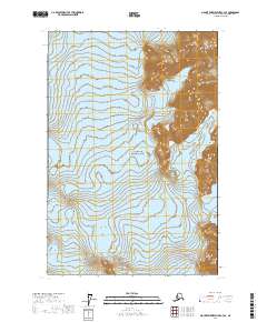
2017 · Mount Fairweather C-3 SE
USGS Topo · 1:25,000
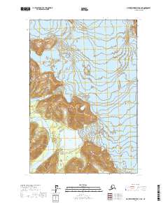
2017 · Mount Fairweather B-3 NE
USGS Topo · 1:25,000
2017 · Mount Fairweather B-3 SE
USGS Topo · 1:25,000