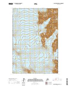
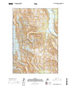
2017 Map of Mount Fairweather C-3 SE
USGS Topo · Published 2017About this map
The massive expanse of Brady Glacier dominates this coastal Alaska landscape within Glacier Bay National Park. The topographic data illustrates the dynamic glacial environment of the early twenty-first century, where ice flows and mountain peaks define the topography. Notable elevations include Mt Divide, situated along the eastern boundary of the quadrangle, and the distinctively named Eerie Point, which projects into the glacial field. The map provides a high-resolution study of the ice-and-rock interface, tracing the sharp contour lines where the glacier meets steep terrain. This survey serves as a precise record of the Hoonah-Angoon Census Area's wilderness before further geological or climatic shifts alter these immense ice structures.
Find a feature on this map
10 named features on this map. Tap any name to fly to it.
Don’t see what you’re looking for? This feature index may not catch every label — zoom into the map to look around manually.
Map Details
Editions of this 2017 Mount Fairweather C-3 SE Map
This is the sole edition of this map. No revisions or reprints were ever made.
Other maps of this area

1948 · Mount Fairweather B-2
USGS Topo · 1:63,360

1948 · Mount Fairweather C-2
USGS Topo · 1:63,360

1950 · Mount Fairweather C-2
USGS Topo · 1:63,360

1951 · Mt Fairweather
USGS Topo · 1:250,000
1961 · Mount Fairweather B-3
USGS Topo · 1:63,360

1961 · Mount Fairweather C-3
USGS Topo · 1:63,360

1961 · Mt Fairweather
USGS Topo · 1:250,000
2017 · Mount Fairweather C-3 NW
USGS Topo · 1:25,000
2017 · Mount Fairweather B-3 NE
USGS Topo · 1:25,000
2017 · Mount Fairweather C-2 NW
USGS Topo · 1:25,000