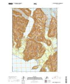
2017 Map of Mount Fairweather B-3 NW
USGS Topo · Published 2017About this map
Glacier Bay National Park encompasses this coastal wilderness where the massive Brady Glacier dominates the northern interior. The landscape transitions from the high peaks of the Fairweather Range and Saint Elias Mountains down to a deeply indented shoreline facing the Gulf of Alaska. Navigational landmarks such as Boussole Head and sheltered waters like Thistle Cove reveal a complex maritime geography shaped by glacial retreat. The Dixon River provides a rare low-elevation corridor through the mountainous terrain, while several large inlets, including Boussole Bay and Palma Bay, mark the intersection of sea and ice. This map illustrates the dramatic topographical shifts between De Langle Mtn and the active ice fields, providing a detailed record of the park’s coastal environment in the early 21st century.
Find a feature on this map
16 named features on this map. Tap any name to fly to it.
Don’t see what you’re looking for? This feature index may not catch every label — zoom into the map to look around manually.
Map Details
Editions of this 2017 Mount Fairweather B-3 NW Map
This is the sole edition of this map. No revisions or reprints were ever made.
Other maps of this area

1951 · Mt Fairweather
USGS Topo · 1:250,000
1961 · Mount Fairweather B-3
USGS Topo · 1:63,360

1961 · Mount Fairweather C-4
USGS Topo · 1:63,360

1961 · Mount Fairweather C-3
USGS Topo · 1:63,360
1961 · Mt Fairweather B-4
USGS Topo · 1:63,360

1961 · Mt Fairweather
USGS Topo · 1:250,000
2017 · Mount Fairweather C-4 SE
USGS Topo · 1:25,000
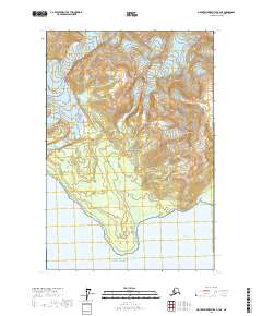
2017 · Mount Fairweather B-4 NE
USGS Topo · 1:25,000
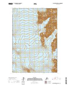
2017 · Mount Fairweather C-3 SE
USGS Topo · 1:25,000
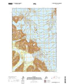
2017 · Mount Fairweather B-3 NE
USGS Topo · 1:25,000