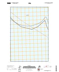
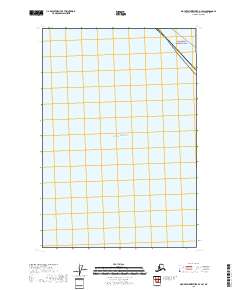
2018 Map of Mount Fairweather B-4 SE
USGS Topo · Published 2018About this map
Glacier Bay National Park borders the northern reaches of this coastal map, where the protected Alaskan wilderness meets the open waters of the Gulf of Alaska. The landscape is dominated by a maritime environment, marked by the expansive shoreline and the marine transport route labeled Pelican - Juneau. This 2018 survey serves as a modern record of the intersection between federal parklands and the historical transit lanes that connect the isolated communities of Southeast Alaska. Surveyed within the Hoonah-Angoon Census Area, the map illustrates the coastal boundary and the section lines of the Public Land Survey System, including t40s r50e and t40s r51e, providing a clear look at how the terrestrial park boundaries align with the maritime geography of the gulf.
Find a feature on this map
17 named features on this map. Tap any name to fly to it.
Don’t see what you’re looking for? This feature index may not catch every label — zoom into the map to look around manually.
Map Details
Editions of this 2018 Mount Fairweather B-4 SE Map
This is the sole edition of this map. No revisions or reprints were ever made.
Other maps of this area

1951 · Mt Fairweather
USGS Topo · 1:250,000
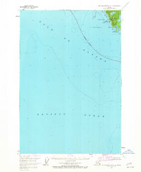
1961 · Mount Fairweather A-3
USGS Topo · 1:63,360
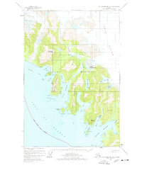
1961 · Mount Fairweather B-3
USGS Topo · 1:63,360
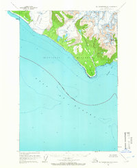
1961 · Mt Fairweather B-4
USGS Topo · 1:63,360

1961 · Mt Fairweather
USGS Topo · 1:250,000
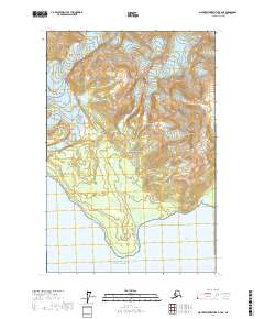
2017 · Mount Fairweather B-4 NE
USGS Topo · 1:25,000
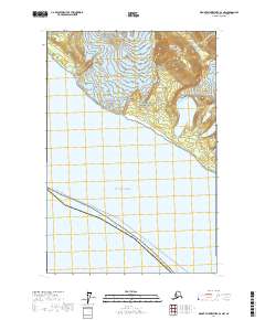
2017 · Mount Fairweather B-4 NW
USGS Topo · 1:25,000
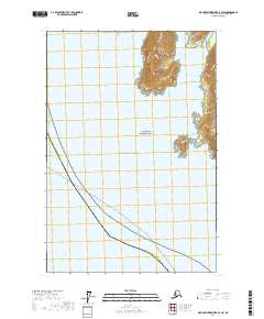
2017 · Mount Fairweather B-3 SW
USGS Topo · 1:25,000
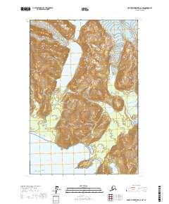
2017 · Mount Fairweather B-3 NW
USGS Topo · 1:25,000
2018 · Mount Fairweather B-4 SW
USGS Topo · 1:25,000