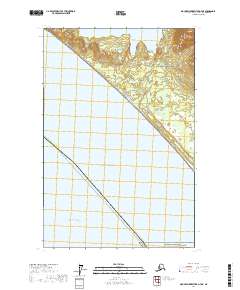
2017 Map of Mount Fairweather D-7 NE
USGS Topo · Published 2017About this map
Glacier Bay National Park dominates the northeastern portion of this coastal survey, where the rugged shoreline of the Alaska coast meets the open water. The map documents the boundary of the Yakutat Borough as it extends into the Gulf of Alaska, reflecting the vast maritime reaches of this northern wilderness. Beyond the terrestrial features, the survey details the transition into the Pacific Ocean, providing a specialized look at the intersection of protected national parklands and the open sea. This 2017 edition serves as a contemporary record of the coastline, featuring the Pelican - Juneau boundary line that traverses the southern waters, a vital detail for understanding modern administrative and navigational divisions in this remote maritime region.
Find a feature on this map
9 named features on this map. Tap any name to fly to it.
Don’t see what you’re looking for? This feature index may not catch every label — zoom into the map to look around manually.
Map Details
Editions of this 2017 Mount Fairweather D-7 NE Map
This is the sole edition of this map. No revisions or reprints were ever made.
Other maps of this area

1951 · Yakutat
USGS Topo · 1:250,000

1951 · Mt Fairweather
USGS Topo · 1:250,000

1952 · Skagway
USGS Topo · 1:250,000

1959 · Yakutat A-1
USGS Topo · 1:63,360

1959 · Yakutat
USGS Topo · 1:250,000
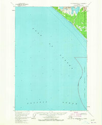
1961 · Mount Fairweather D-7
USGS Topo · 1:63,360

1961 · Mount Fairweather D-6
USGS Topo · 1:63,360

1961 · Skagway A-8
USGS Topo · 1:63,360

1961 · Mt Fairweather
USGS Topo · 1:250,000

1961 · Skagway
USGS Topo · 1:250,000