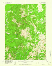
1959 Map of Mount Hancock
USGS Topo · Published 1960About this map
Yellowstone National Park and the Teton National Forest meet at a high mountain boundary defined by the Continental Divide. This 1959 field-checked survey reveals the remote backcountry infrastructure of the era, specifically the network of backcountry stations such as the Harebell Creek Patrol Cabin and the Fox Park Patrol Cabin. These structures supported the seasonal operations of park and forest rangers at a time when the landscape was primarily navigated by horse and foot via an extensive system of routes like the Pack Trail and Two Ocean Trail.
Find a feature on this map
40 named features on this map. Tap any name to fly to it.
Don’t see what you’re looking for? This feature index may not catch every label — zoom into the map to look around manually.
Map Details
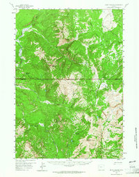
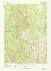
Editions of this 1959 Mount Hancock Map
3 editions found
Other maps of this area

1885 · Lake
USGS Topo · 1:125,000

1886 · Shoshone
USGS Topo · 1:125,000

1888 · Shoshone
USGS Topo · 1:125,000

1895 · Shoshone
USGS Topo · 1:125,000

1895 · Lake
USGS Topo · 1:125,000

1896 · Lake
USGS Topo · 1:125,000

1899 · Grand Teton
USGS Topo · 1:125,000

1901 · Shoshone
USGS Topo · 1:125,000

1901 · Lake
USGS Topo · 1:125,000

1901 · Grand Teton
USGS Topo · 1:125,000