
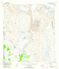
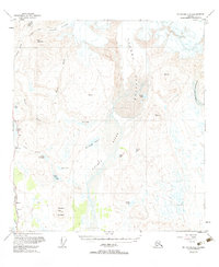
1950 Map of Mount Hayes A-3
USGS Topo · Published 1963About this map
Paxson serves as the primary outpost on this mid-century survey, situated at the critical junction where the Richardson Highway meets the path toward the high interior. The landscape is defined by the massive retreat of the Gulkana Glacier and Gakona Glacier, which feed a complex network of braided streams and glacial lakes. The presence of a Landing Strip near the settlement underscores the region's reliance on bush aviation for access to the more remote peaks like Wolverine Mountain.
Find a feature on this map
24 named features on this map. Tap any name to fly to it.
Don’t see what you’re looking for? This feature index may not catch every label — zoom into the map to look around manually.
Map Details
Editions of this 1950 Mount Hayes A-3 Map
3 editions found
Other maps of this area

1949 · Mount Hayes A-4
USGS Topo · 1:63,360

1949 · Gulkana D-3
USGS Topo · 1:63,360

1950 · Mount Hayes
USGS Topo · 1:250,000

1950 · Gulkana D-4
USGS Topo · 1:63,360

1951 · Gulkana
USGS Topo · 1:250,000

1951 · Mount Hayes
USGS Topo · 1:250,000

1952 · Gulkana D-3
USGS Topo · 1:63,360

1952 · Mount Hayes A-3
USGS Topo · 1:63,360

1952 · Gulkana D-4
USGS Topo · 1:63,360

1952 · Mount Hayes A-4
USGS Topo · 1:63,360