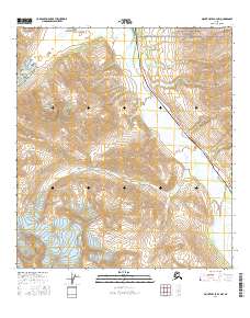
2016 Map of Mount Hayes B-4 NW
USGS Topo · Published 2016About this map
The Alaska Pipeline and Richardson Highway parallel the Delta River through this high-altitude corridor of the Alaska Range. The map documents a critical infrastructure bottleneck where engineering feats must contend with the glacial landscape, including the proximity of the Black Rapids Glacier to the north and numerous high-energy drainages. A series of steeply graded tributaries, such as Suzy Q Cr, Boulder Cr, and Whistler Cr, descend from the surrounding peaks toward the river valley. The eastern edge of the quadrangle is defined by the rugged ascent toward higher summits, with deep incisions from Trims Creek and Castner Creek carving through the mountain massif. This topographical study captures the modern industrial footprint of the Trans-Alaska Pipeline System as it navigates one of the state's most formidable interior mountain passes.
Find a feature on this map
20 named features on this map. Tap any name to fly to it.
Don’t see what you’re looking for? This feature index may not catch every label — zoom into the map to look around manually.
Map Details
Editions of this 2016 Mount Hayes B-4 NW Map
This is the sole edition of this map. No revisions or reprints were ever made.
Other maps of this area

1950 · Mount Hayes
USGS Topo · 1:250,000

1950 · Mount Hayes C-4
USGS Topo · 1:63,360

1951 · Mount Hayes
USGS Topo · 1:250,000

1951 · Mount Hayes C-5
USGS Topo · 1:63,360

1951 · Mt. Hayes B-5
USGS Topo · 1:63,360

1952 · Mount Hayes C-4
USGS Topo · 1:63,360

1952 · Mount Hayes B-4
USGS Topo · 1:63,360

1954 · Mount Hayes B-4
USGS Topo · 1:63,360

1955 · Mount Hayes
USGS Topo · 1:250,000
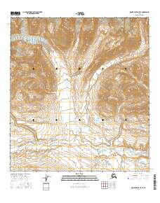
2016 · Mount Hayes B-5 SE
USGS Topo · 1:25,000