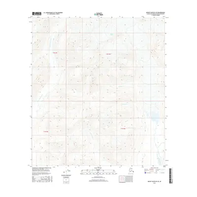
2016 Map of Mount Hayes B-6 SE
USGS Topo · Published 2016About this map
The Maclaren Glacier feeds a complex network of glacial meltwater streams in this high-elevation Alaskan terrain within the Matanuska-Susitna Borough. The drainage pattern is defined by the Maclaren River and its western counterpart, the W Fork Maclaren River, which carve through the landscape alongside numerous tributaries. These include Cathedral Cr, Two Plate Cr, and Spray Cr, all flowing from the steep slopes and ice fields of the Alaska Range. Grounded in 2016 data, this map captures the remote character of the region, where the Cottonwood Cr drainage also intersects these glacial valleys. The survey provides a clear view of the hydrological connectivity and elevation changes that define the eastern portion of the borough.
Find a feature on this map
12 named features on this map. Tap any name to fly to it.
Don’t see what you’re looking for? This feature index may not catch every label — zoom into the map to look around manually.
Map Details
Editions of this 2016 Mount Hayes B-6 SE Map
This is the sole edition of this map. No revisions or reprints were ever made.
Other maps of this area

1949 · Mount Hayes A-5
USGS Topo · 1:63,360

1950 · Mount Hayes
USGS Topo · 1:250,000

1950 · Mount Hayes A-6
USGS Topo · 1:63,360

1951 · Mount Hayes
USGS Topo · 1:250,000

1951 · Mount Hayes B-6
USGS Topo · 1:63,360

1951 · Mt. Hayes B-5
USGS Topo · 1:63,360

1952 · Mount Hayes A-6
USGS Topo · 1:63,360
1952 · Mount Hayes A-5
USGS Topo · 1:63,360

1955 · Mount Hayes
USGS Topo · 1:250,000
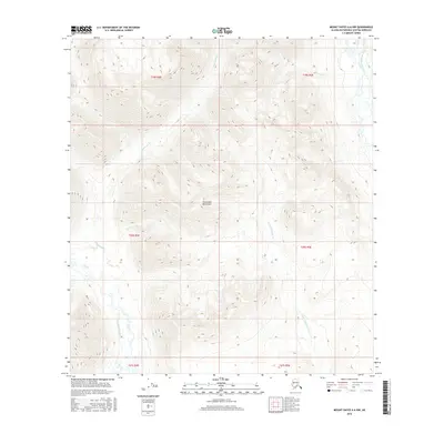
2016 · Mount Hayes A-6 NW
USGS Topo · 1:25,000