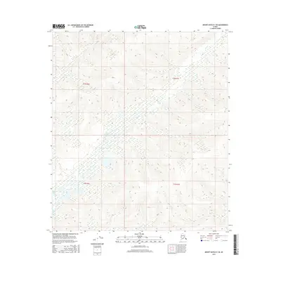
2016 Map of Mount Hayes D-1 SE
USGS Topo · Published 2016About this map
George Cr and the network of drainages surrounding Sand Cr define this area of the Alaska interior during the mid-2010s. The landscape is characterized by its hydrological features and topographic relief, with Sand Lake situated among a complex system of wetlands and small water bodies. The map details the cadastral divisions of the region, specifically marking the boundaries of t24n r6e, t24n r7e, t23n r6e, and t23n r7e, which provide essential reference points for land management and historical surveying. The absence of roads or permanent structures reflects a remote wilderness character where drainage patterns like those of the George and Sand creeks are the primary landmarks for navigation and land use study.
Find a feature on this map
7 named features on this map. Tap any name to fly to it.
Don’t see what you’re looking for? This feature index may not catch every label — zoom into the map to look around manually.
Map Details
Editions of this 2016 Mount Hayes D-1 SE Map
This is the sole edition of this map. No revisions or reprints were ever made.
Other maps of this area

1949 · Tanacross
USGS Topo · 1:250,000

1950 · Tanacross
USGS Topo · 1:250,000

1950 · Mount Hayes
USGS Topo · 1:250,000

1951 · Mount Hayes
USGS Topo · 1:250,000

1954 · Tanacross C-6
USGS Topo · 1:63,360

1954 · Mount Hayes D-1
USGS Topo · 1:63,360

1954 · Tanacross D-6
USGS Topo · 1:63,360

1954 · Mount Hayes C-1
USGS Topo · 1:63,360

1955 · Mount Hayes C-1
USGS Topo · 1:63,360
1955 · Tanacross C-6
USGS Topo · 1:63,360