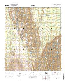
2013 Map of Mount Hayes D-5 NE
USGS Topo · Published 2013About this map
Glacial geology and the vast hydrologic network of interior Alaska define this landscape in the Southeast Fairbanks region. The terrain is characterized by hundreds of kettle lakes and complex drainage patterns, indicating a landscape heavily shaped by past glaciation and permafrost processes. This 2013 survey provides precise topographic detail for the transition between townships, specifically the line between T 10 S T 11 S and further south where it meets T 11 S T 12 S. The map also documents the meridian shift at the junction of R 8 E R 9 E. While devoid of named settlements, the intricate contour data and pond density offer essential data for understanding the physical geography and land management boundaries of this wilderness area within the Mount Hayes quadrangle.
Find a feature on this map
3 named features on this map. Tap any name to fly to it.
Don’t see what you’re looking for? This feature index may not catch every label — zoom into the map to look around manually.
Map Details
Editions of this 2013 Mount Hayes D-5 NE Map
This is the sole edition of this map. No revisions or reprints were ever made.
Other maps of this area

1950 · Mount Hayes
USGS Topo · 1:250,000

1950 · Big Delta
USGS Topo · 1:250,000

1950 · Big Delta A-5
USGS Topo · 1:63,360

1950 · Mount Hayes D-4
USGS Topo · 1:63,360

1950 · Big Delta A-4
USGS Topo · 1:63,360

1950 · Mount Hayes D-5
USGS Topo · 1:63,360

1951 · Big Delta
USGS Topo · 1:250,000

1951 · Mount Hayes
USGS Topo · 1:250,000

1952 · Mount Hayes D-5
USGS Topo · 1:63,360

1952 · Big Delta A-5
USGS Topo · 1:63,360