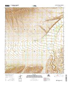
2016 Map of Mount Hayes D-6 NE
USGS Topo · Published 2016About this map
Delta Creek winds through the eastern portion of this terrain, its braided channel patterns cutting a path across a landscape defined by sharp elevation shifts and complex drainage networks. This area in the Southeast Fairbanks region of Alaska shows the intricate relationship between the braided glacial waters and the surrounding upland slopes. The detailed contour intervals reveal the steep, dissected ridges that flank the watercourse, providing a clear record of the physical geography within the t10s r6e, t11s r6e, and t12s r6e survey townships. This document focuses on a largely uninhabited expanse, where the primary features are the natural landforms and the established Public Land Survey System boundaries.
Find a feature on this map
7 named features on this map. Tap any name to fly to it.
Don’t see what you’re looking for? This feature index may not catch every label — zoom into the map to look around manually.
Map Details
Editions of this 2016 Mount Hayes D-6 NE Map
This is the sole edition of this map. No revisions or reprints were ever made.
Other maps of this area

1949 · Big Delta A-6
USGS Topo · 1:63,360

1950 · Mount Hayes
USGS Topo · 1:250,000

1950 · Big Delta
USGS Topo · 1:250,000

1950 · Big Delta A-5
USGS Topo · 1:63,360

1950 · Mount Hayes D-6
USGS Topo · 1:63,360

1950 · Mount Hayes D-5
USGS Topo · 1:63,360

1951 · Big Delta
USGS Topo · 1:250,000

1951 · Mount Hayes
USGS Topo · 1:250,000
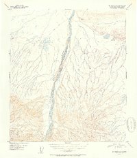
1951 · Big Delta A-6
USGS Topo · 1:63,360

1952 · Mount Hayes D-5
USGS Topo · 1:63,360