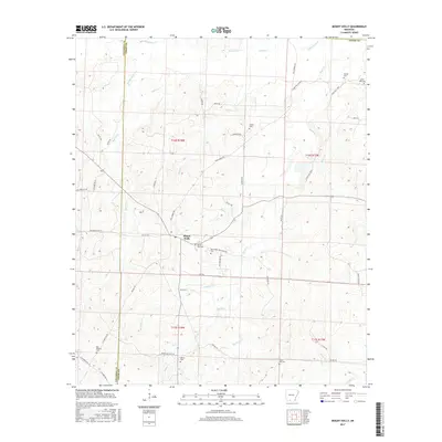
2017 Map of Mount Holly
USGS Topo · Published 2017About this map
Mount Holly serves as the central hub of this 2017 survey, situated at the junction of several county roads along the border of Columbia and Union counties. The landscape is defined by the winding tributaries of Smackover Creek, including Holly Creek, Cypress Creek, and Beech Creek. These waterways dictate the local geography, with roads like Old Camden Road and Mill Road navigating the low-lying drainage basins.
Find a feature on this map
58 named features on this map. Tap any name to fly to it.
Don’t see what you’re looking for? This feature index may not catch every label — zoom into the map to look around manually.
Map Details
Editions of this 2017 Mount Holly Map
This is the sole edition of this map. No revisions or reprints were ever made.
Other maps of this area

1953 · El Dorado
USGS Topo · 1:250,000

1957 · El Dorado
USGS Topo · 1:250,000

1958 · El Dorado
USGS Topo · 1:250,000

1960 · El Dorado
USGS Topo · 1:250,000

1962 · Lisbon
USGS Topo · 1:24,000

1962 · Louann
USGS Topo · 1:24,000

1962 · Buena Vista
USGS Topo · 1:24,000

1962 · Mt Holly
USGS Topo · 1:24,000

1964 · Louann
USGS Topo · 1:62,500

1966 · Village
USGS Topo · 1:24,000