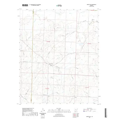
2020 Map of Mount Holly
USGS Topo · Published 2020About this map
Mount Holly serves as the primary settlement hub in this rural stretch of South Arkansas, situated at the junction of several local routes along the Columbia Co Union Co border. The landscape is defined by a dense network of watercourses, including the prominent Smackover Cr to the north and numerous smaller branches like Cypress Cr and Beech Cr. For genealogists and local historians, the area is notably rich in family and community burial sites, from the central Mount Holly Cem to more remote locations like the Watson - Beavers Cem and Big Hickory Cem. The map detail traces historical transit patterns along corridors such as Old Camden Rd and Silver Hill Loop, reflecting a landscape of dispersed homesteads and small church-centered communities like those found near Bethel Church Cem.
Find a feature on this map
60 named features on this map. Tap any name to fly to it.
Don’t see what you’re looking for? This feature index may not catch every label — zoom into the map to look around manually.
Map Details
Editions of this 2020 Mount Holly Map
This is the sole edition of this map. No revisions or reprints were ever made.
Other maps of this area

1953 · El Dorado
USGS Topo · 1:250,000

1957 · El Dorado
USGS Topo · 1:250,000

1958 · El Dorado
USGS Topo · 1:250,000

1960 · El Dorado
USGS Topo · 1:250,000

1962 · Lisbon
USGS Topo · 1:24,000

1962 · Louann
USGS Topo · 1:24,000

1962 · Buena Vista
USGS Topo · 1:24,000

1962 · Mt Holly
USGS Topo · 1:24,000

1964 · Louann
USGS Topo · 1:62,500

1966 · Village
USGS Topo · 1:24,000