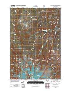
2011 Map of Mount Hood North
USGS Topo · Published 2011About this map
Ladd Glacier, Langille Glacier, and the Sandy Glacier Headwall dominate the southern portion of this landscape, marking the ice-carved northern slopes of the mountain peak. These frozen rivers feed a complex hydrological system of branches and creeks, including the Coe Branch and Eliot Branch, which flow northward toward Laurance Lake. The terrain transitions from glacial ice and permanent snowfields to named ridges and basins like Stranahan Ridge and Cairn Basin. Human activity is concentrated in the Cloud Cap-Tilly Jane Historic Area, a site of longstanding significance for early mountain exploration. In the northern reaches, the topography shifts to more timbered features such as File Butte and Red Hill, while landmark viewpoints like Inspiration Point and McNeil Point provide distinct vantages over the drainage of the Middle Fork Hood River.
Find a feature on this map
55 named features on this map. Tap any name to fly to it.
Don’t see what you’re looking for? This feature index may not catch every label — zoom into the map to look around manually.
Map Details
Editions of this 2011 Mount Hood North Map
This is the sole edition of this map. No revisions or reprints were ever made.
Other maps of this area

1924 · Mount Hood
USGS Topo · 1:125,000

1926 · Hood River
USGS Topo · 1:125,000

1927 · Mount Hood
USGS Topo · 1:125,000

1929 · Hood River
USGS Topo · 1:125,000

1953 · The Dalles
USGS Topo · 1:250,000

1956 · The Dalles
USGS Topo · 1:250,000

1957 · The Dalles
USGS Topo · 1:250,000

1957 · Bonneville Dam
USGS Topo · 1:62,500

1957 · Hood River
USGS Topo · 1:62,500

1962 · Cathedral Ridge
USGS Topo · 1:24,000