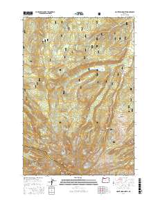
2017 Map of Mount Hood North
USGS Topo · Published 2017About this map
Mt Hood dominates the southern landscape of this 2017 survey, where several active ice masses including Eliot Glacier, Ladd Glacier, and Sandy Glacier radiate from the high peak. The northern slopes are defined by a complex network of ridges and basins within the Mount Hood National Forest, showcasing a rugged alpine environment prior to more recent seasonal changes. Notable landmarks like the Harry Wollam Grave near File Butte and the remote Eden Park offer specific points of interest for local history and trail research. Water management is centered at Laurance Lake, which collects the runoff from Clear Br and Coe Br. The map also captures significant geological features like Pulpit Rock and Langille Crags, alongside the high-altitude Cairn Basin and Elk Cove, providing a detailed view of the summit approaches and surrounding wilderness.
Find a feature on this map
75 named features on this map. Tap any name to fly to it.
Don’t see what you’re looking for? This feature index may not catch every label — zoom into the map to look around manually.
Map Details
Editions of this 2017 Mount Hood North Map
This is the sole edition of this map. No revisions or reprints were ever made.
Other maps of this area

1924 · Mount Hood
USGS Topo · 1:125,000

1926 · Hood River
USGS Topo · 1:125,000

1927 · Mount Hood
USGS Topo · 1:125,000

1929 · Hood River
USGS Topo · 1:125,000

1953 · The Dalles
USGS Topo · 1:250,000

1956 · The Dalles
USGS Topo · 1:250,000

1957 · The Dalles
USGS Topo · 1:250,000

1957 · Bonneville Dam
USGS Topo · 1:62,500

1957 · Hood River
USGS Topo · 1:62,500

1962 · Cathedral Ridge
USGS Topo · 1:24,000