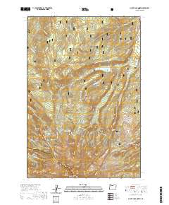
2020 Map of Mount Hood North
USGS Topo · Published 2020About this map
Mt Hood dominates the southern reaches of this landscape, its summit and surrounding ice fields including Sandy Glacier and Eliot Glacier providing the source for numerous glacial streams. The drainage network is characterized by the Sandy Wild and Scenic River and the Middle Fork Hood Wild and Scenic River, which flow from high-elevation points like McNeil Point and Cooper Spur. A notable human landmark is the isolated Harry Wollam Grave situated near File Butte in the northern portion of the forest.
Find a feature on this map
58 named features on this map. Tap any name to fly to it.
Don’t see what you’re looking for? This feature index may not catch every label — zoom into the map to look around manually.
Map Details
Editions of this 2020 Mount Hood North Map
This is the sole edition of this map. No revisions or reprints were ever made.
Other maps of this area

1924 · Mount Hood
USGS Topo · 1:125,000

1926 · Hood River
USGS Topo · 1:125,000

1927 · Mount Hood
USGS Topo · 1:125,000

1929 · Hood River
USGS Topo · 1:125,000

1953 · The Dalles
USGS Topo · 1:250,000

1956 · The Dalles
USGS Topo · 1:250,000

1957 · The Dalles
USGS Topo · 1:250,000

1957 · Bonneville Dam
USGS Topo · 1:62,500

1957 · Hood River
USGS Topo · 1:62,500

1962 · Cathedral Ridge
USGS Topo · 1:24,000