
2014 Map of Mount Hood South
USGS Topo · Published 2014About this map
Mount Hood dominates the northern edge of this high-altitude landscape, where massive glacial systems like Zigzag Glacier and White River Glacier descend toward the valleys below. The terrain is defined by its dramatic volcanic geology, featuring landmarks such as Crater Rock, Devils Kitchen, and the vertical rise of Steel Cliff. At the base of the peak, the settlement of Government Camp serves as a gateway to the region, situated near historical sites including Summit Meadows and the Summit Meadows Cem.
Find a feature on this map
82 named features on this map. Tap any name to fly to it.
Don’t see what you’re looking for? This feature index may not catch every label — zoom into the map to look around manually.
Map Details
Editions of this 2014 Mount Hood South Map
This is the sole edition of this map. No revisions or reprints were ever made.
Other maps of this area

1924 · Mount Hood
USGS Topo · 1:125,000

1927 · Mount Hood
USGS Topo · 1:125,000

1953 · The Dalles
USGS Topo · 1:250,000

1956 · The Dalles
USGS Topo · 1:250,000

1956 · High Rock
USGS Topo · 1:62,500

1956 · Mt. Wilson
USGS Topo · 1:62,500

1957 · The Dalles
USGS Topo · 1:250,000

1962 · Cathedral Ridge
USGS Topo · 1:24,000
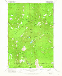
1962 · Badger Lake
USGS Topo · 1:24,000
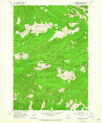
1962 · Government Camp
USGS Topo · 1:24,000