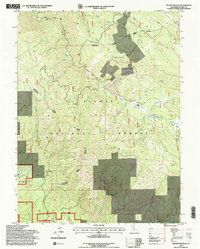
1994 Map of Mount Ingalls
USGS Topo · Published 1998About this map
The Walker Mine industrial complex dominates this section of Plumas National Forest, centered around the Walker Mine Ruins and extensive Tailings deposits. This area in the mid-1990s was a landscape defined by significant mining history, with the Walker Mine Road providing access to the operations located near Dolly Creek. Beyond the industrial activity, the map identifies Lovejoy (Site) near Lovejoy Creek, indicating a former settlement or habitation point that has since transitioned to a named site.
Find a feature on this map
42 named features on this map. Tap any name to fly to it.
Don’t see what you’re looking for? This feature index may not catch every label — zoom into the map to look around manually.
Map Details
Editions of this 1994 Mount Ingalls Map
2 editions found
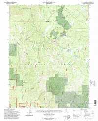
Other maps of this area

1886 · Honey Lake
USGS Topo · 1:250,000

1891 · Downieville
USGS Topo · 1:125,000

1891 · Honey Lake
USGS Topo · 1:250,000

1893 · Honey Lake
USGS Topo · 1:250,000

1893 · Downieville
USGS Topo · 1:125,000

1895 · Downieville
USGS Topo · 1:125,000

1896 · Downieville
USGS Topo · 1:125,000

1897 · Downieville
USGS Topo · 1:125,000

1937 · Blairsden
USGS Topo · 1:48,000

1943 · Blairsden
USGS Topo · 1:62,500