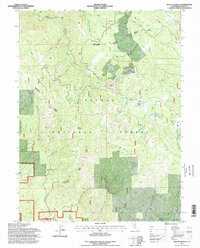
1994 Map of Mount Ingalls
USGS Topo · Published 1998About this map
Grizzly Ridge dominates this portion of the Plumas National Forest in the mid-1990s, where high-elevation terrain meets historic mining and ranching interests. The map documents several important historical markers for researchers, including the Lovejoy (Site) near Lovejoy Creek and a lonely Grave recorded south of Nye Meadows. The landscape is defined by its drainage systems, from the headwaters of Little Grizzly Creek to the narrow McDermott Ravine. Mining activity is physically etched into the terrain with several Mine labels and significant Tailings deposits near the upper reaches of the creeks. Higher elevations like Mount Ingalls and Turner Ridge watch over secluded water features such as Summit Lake and Summit Marsh, providing a detailed look at the resource-rich environment before modern changes altered the accessibility of these back-country locations.
Find a feature on this map
40 named features on this map. Tap any name to fly to it.
Don’t see what you’re looking for? This feature index may not catch every label — zoom into the map to look around manually.
Map Details
Editions of this 1994 Mount Ingalls Map
2 editions found
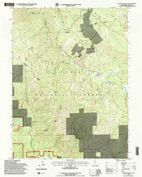
Other maps of this area

1886 · Honey Lake
USGS Topo · 1:250,000

1891 · Downieville
USGS Topo · 1:125,000

1891 · Honey Lake
USGS Topo · 1:250,000

1893 · Honey Lake
USGS Topo · 1:250,000

1893 · Downieville
USGS Topo · 1:125,000

1895 · Downieville
USGS Topo · 1:125,000

1896 · Downieville
USGS Topo · 1:125,000

1897 · Downieville
USGS Topo · 1:125,000

1937 · Blairsden
USGS Topo · 1:48,000

1943 · Blairsden
USGS Topo · 1:62,500