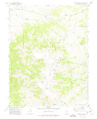
1971 Map of Mount Jefferson
USGS Topo · Published 1975About this map
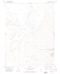
Mount Jefferson dominates this high-altitude landscape in the heart of the Toiyabe Range, showing the topography as it was mapped in 1970. The three major peaks—North Summit, Middle Summit, and South Summit—anchor the central ridge within the Toiyabe National Forest. The map reveals a land defined by water sources and steep drainage, where names like Logan Spring and Anderson Spring mark critical points in an otherwise arid environment.
Find a feature on this map
36 named features on this map. Tap any name to fly to it.
Don’t see what you’re looking for? This feature index may not catch every label — zoom into the map to look around manually.
Map Details
Editions of this 1971 Mount Jefferson Map
2 editions found
Other maps of this area

1907 · Tonopah
USGS Topo · 1:250,000

1908 · Tonopah
USGS Topo · 1:250,000

1956 · Tonopah
USGS Topo · 1:250,000

1959 · Tonopah
USGS Topo · 1:250,000

1962 · Tonopah
USGS Topo · 1:250,000

1971 · Corcoran Canyon
USGS Topo · 1:24,000
1971 · Jet Spring
USGS Topo · 1:24,000
1971 · Northumberland Pass
USGS Topo · 1:24,000
1971 · Carvers NE
USGS Topo · 1:24,000

1971 · Jefferson
USGS Topo · 1:24,000