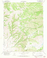
1968 Map of Mount Johnson
USGS Topo · Published 1971About this map
The Gabilan Range dominates this landscape in the late 1960s, a complex terrain of deep canyons and ridgelines marked by the summit of Mount Johnson. This area in eastern Monterey County showcases a network of primitive access routes, such as the Chualar Jeep Trail, used for land management and ranching. To the south and east, the topography transitions into more accessible pockets like Gloria Valley and Parks Valley, where Gloria Lake and Chalone Creek provide critical water sources. The map also delineates the historic land grant boundary of Rincon de la Puente del Monte and the county line between San Benito and Monterey. Family names are preserved in landmarks like Cushman Hill and Ben Graves Canyon, offering points of interest for local historians and genealogists tracking land use patterns before modern development.
Find a feature on this map
39 named features on this map. Tap any name to fly to it.
Don’t see what you’re looking for? This feature index may not catch every label — zoom into the map to look around manually.
Map Details
Editions of this 1968 Mount Johnson Map
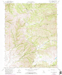
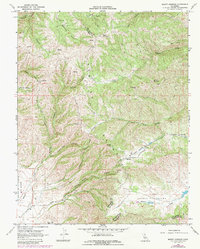
3 editions found
Other maps of this area

1910 · Gonzales
USGS Topo · 1:31,680

1910 · Soledad
USGS Topo · 1:31,680

1915 · Soledad
USGS Topo · 1:62,500

1919 · San Benito
USGS Topo · 1:62,500

1921 · Gonzales
USGS Topo · 1:62,500

1921 · Metz
USGS Topo · 1:62,500

1931 · San Benito
USGS Topo · 1:62,500

1940 · Metz
USGS Topo · 1:62,500

1940 · Soledad
USGS Topo · 1:62,500

1940 · San Benito
USGS Topo · 1:62,500