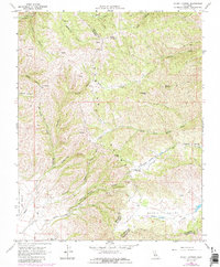
1968 Map of Mount Johnson
USGS Topo · Published 1984About this map
The Gabilan Range dominates this landscape along the border of Monterey and San Benito counties, where steep drainage systems like Matarana Gulch and Rooster Canyon carve into the upland terrain. Notable peaks such as Mount Johnson and Mount Reynolds define the high points of the region, overlooking a complex network of canyons and valleys. The southern portion of the map transitions into the Gloria Valley, featuring Gloria Lake and the drainage of Chalone Creek. This 1968 survey, with 1980s updates, captures the rural infrastructure of the area, including the winding Chualar Canyon Road and several unimproved jeep trails that provide access to remote areas like Parks Valley. The inclusion of the Rincon De La Puente Del Monte land grant boundary reflects the area's deep-rooted ranching history and the persistence of Spanish-era land divisions.
Find a feature on this map
29 named features on this map. Tap any name to fly to it.
Don’t see what you’re looking for? This feature index may not catch every label — zoom into the map to look around manually.
Map Details
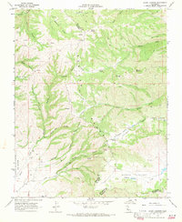
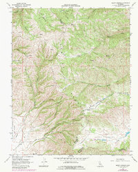
Editions of this 1968 Mount Johnson Map
3 editions found
Other maps of this area

1910 · Gonzales
USGS Topo · 1:31,680

1910 · Soledad
USGS Topo · 1:31,680

1915 · Soledad
USGS Topo · 1:62,500

1919 · San Benito
USGS Topo · 1:62,500

1921 · Gonzales
USGS Topo · 1:62,500

1921 · Metz
USGS Topo · 1:62,500

1931 · San Benito
USGS Topo · 1:62,500

1940 · Metz
USGS Topo · 1:62,500

1940 · Soledad
USGS Topo · 1:62,500

1940 · San Benito
USGS Topo · 1:62,500