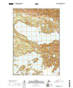
2019 Map of Mount Katmai C-5 NE
USGS Topo · Published 2019About this map
Katmai National Park preserves a vast aquatic and terrestrial landscape in this 2019 survey of the Lake and Peninsula Borough. The map is dominated by the expansive waters of Lake Grosvenor to the north and the northern reaches of Naknek Lake to the south. These two major water bodies are separated by a narrow land bridge that facilitates movement through the wilderness via the Savonoski Loop Portage Trail. This portage indicates a long-standing travel corridor for those navigating the peninsula's interior waterways. The terrain between the lakes is characterized by detailed contouring that reveals the complex drainages and small islands dotting the shoreline of Naknek Lake, illustrating the post-glacial topography typical of this protected region.
Find a feature on this map
10 named features on this map. Tap any name to fly to it.
Don’t see what you’re looking for? This feature index may not catch every label — zoom into the map to look around manually.
Map Details
Editions of this 2019 Mount Katmai C-5 NE Map
This is the sole edition of this map. No revisions or reprints were ever made.
Other maps of this area

1948 · Mt Katmai
USGS Topo · 1:250,000

1951 · Mt Katmai
USGS Topo · 1:250,000

1951 · Mount Katmai D-5
USGS Topo · 1:63,360

1951 · Mount Katmai C-5
USGS Topo · 1:63,360

1951 · Mount Katmai C-4
USGS Topo · 1:63,360

1951 · Mount Katmai D-4
USGS Topo · 1:63,360
1953 · Mount Katmai C-5
USGS Topo · 1:63,360

1964 · Mt. Katmai
USGS Topo · 1:250,000
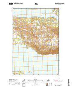
2019 · Mount Katmai C-5 SW
USGS Topo · 1:25,000
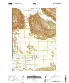
2019 · Mount Katmai C-4 SW
USGS Topo · 1:25,000