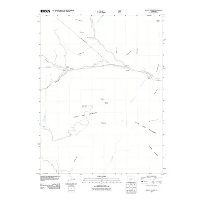
2011 Map of Mount Logan
USGS Topo · Published 2011About this map
The North Fork South Platte River valley serves as the primary corridor for human activity in this 2011 survey of the high Rockies. Small settlements like Webster and Grant follow the river's path, reflecting a classic Colorado mountain development pattern where infrastructure is dictated by narrow valley floors. Transportation and utility history are present through features like the Harold D Roberts Tunnel and Geneva Rd.
Find a feature on this map
37 named features on this map. Tap any name to fly to it.
Don’t see what you’re looking for? This feature index may not catch every label — zoom into the map to look around manually.
Map Details
Editions of this 2011 Mount Logan Map
This is the sole edition of this map. No revisions or reprints were ever made.
Other maps of this area

1903 · Georgetown
USGS Topo · 1:62,500

1905 · Georgetown
USGS Topo · 1:62,500

1924 · Montezuma
USGS Topo · 1:62,500

1926 · Montezuma
USGS Topo · 1:62,500

1933 · Montezuma
USGS Topo · 1:62,500

1937 · Como
USGS Topo · 1:62,500

1945 · Shawnee
USGS Topo · 1:24,000

1945 · Mount Logan
USGS Topo · 1:24,000

1948 · Mount Logan
USGS Topo · 1:24,000

1948 · Shawnee
USGS Topo · 1:24,000