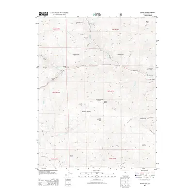
2013 Map of Mount Logan
USGS Topo · Published 2013About this map
Grant and Webster serve as the primary valley settlements along the North Fork S Platte River, a corridor defined by early transportation and ranching roots in the high country. This 2013 survey of the Pike National Forest highlights the intersection of modern recreation and historical geography, featuring the Colorado Trail and several cemetery sites like the Webster Cemetery and Lamping Cemetery. The landscape is dominated by the massive presence of the Platte River Mountains and Kenosha Mountains, with peaks like Mount Logan and North Twin Cone Peak rising above a network of gulches. Beneath this complex surface, the Harold D Roberts Tunnel represents a significant piece of hidden hydraulic infrastructure, cutting through the mountain range to carry water toward the Front Range. The map effectively traces the transition from historic mining-era gulches like Hall Valley to the modern highway system of US Highway 285.
Find a feature on this map
51 named features on this map. Tap any name to fly to it.
Don’t see what you’re looking for? This feature index may not catch every label — zoom into the map to look around manually.
Map Details
Editions of this 2013 Mount Logan Map
This is the sole edition of this map. No revisions or reprints were ever made.
Other maps of this area

1903 · Georgetown
USGS Topo · 1:62,500

1905 · Georgetown
USGS Topo · 1:62,500

1924 · Montezuma
USGS Topo · 1:62,500

1926 · Montezuma
USGS Topo · 1:62,500

1933 · Montezuma
USGS Topo · 1:62,500

1937 · Como
USGS Topo · 1:62,500

1945 · Shawnee
USGS Topo · 1:24,000

1945 · Mount Logan
USGS Topo · 1:24,000

1948 · Mount Logan
USGS Topo · 1:24,000

1948 · Shawnee
USGS Topo · 1:24,000