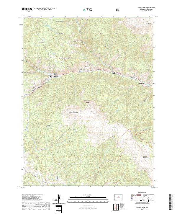
2022 Map of Mount Logan
USGS Topo · Published 2022About this map
The N Fork S Platte River serves as the central drainage for this mountain landscape, with settlements like Grant and Webster situated along its course. This area of the Pike National Forest is characterized by high alpine peaks including Mt Logan, North Twin Cone Peak, and South Twin Cone Peak. For those researching local history, the map identifies the Webster Cem and Lamping Family Cem, offering points of interest for genealogical study. Below the surface, the Harold D Roberts Tunnel cuts through the northern section, representing a significant piece of water infrastructure. The network of paths such as the Colorado Trl and Ben Tyler Trl highlights the transition from early resource access to modern recreational use within the Platte River Mountains.
Find a feature on this map
49 named features on this map. Tap any name to fly to it.
Don’t see what you’re looking for? This feature index may not catch every label — zoom into the map to look around manually.
Map Details
Editions of this 2022 Mount Logan Map
This is the sole edition of this map. No revisions or reprints were ever made.
Other maps of this area

1903 · Georgetown
USGS Topo · 1:62,500

1905 · Georgetown
USGS Topo · 1:62,500

1924 · Montezuma
USGS Topo · 1:62,500

1926 · Montezuma
USGS Topo · 1:62,500

1933 · Montezuma
USGS Topo · 1:62,500

1937 · Como
USGS Topo · 1:62,500

1945 · Shawnee
USGS Topo · 1:24,000

1945 · Mount Logan
USGS Topo · 1:24,000

1948 · Mount Logan
USGS Topo · 1:24,000

1948 · Shawnee
USGS Topo · 1:24,000