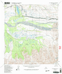
1954 Map of Mount McKinley B-2
USGS Topo · Published 1994About this map
Wonder Lake and the Wonder Lake Ranger Station dominate the northwestern quadrant of this interior Alaska survey, which captures the remote character of the region as documented in the early 1950s. The landscape is defined by the massive braided channels of the Mc Kinley River, which sweeps across the center of the sheet and creates a wide alluvial plain at McKinley Bar. To the south, the terrain becomes increasingly complex with the winding paths of Clearwater Creek and the Muddy River cutting through the foothills of the Alaska Range.
Find a feature on this map
20 named features on this map. Tap any name to fly to it.
Don’t see what you’re looking for? This feature index may not catch every label — zoom into the map to look around manually.
Map Details
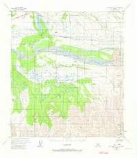
Editions of this 1954 Mount McKinley B-2 Map
3 editions found

Other maps of this area

1952 · Mount McKinley
USGS Topo · 1:250,000

1952 · Mount McKinley B-2
USGS Topo · 1:63,360

1952 · Mount McKinley C-3
USGS Topo · 1:63,360

1952 · Mount McKinley B-1
USGS Topo · 1:63,360

1952 · Mount McKinley C-1
USGS Topo · 1:63,360

1952 · Mount McKinley C-2
USGS Topo · 1:63,360

1953 · Mount McKinley B-3
USGS Topo · 1:63,360

1954 · Mount McKinley C-1
USGS Topo · 1:63,360

1954 · Mount McKinley B-1
USGS Topo · 1:63,360

1954 · Mount McKinley B-3
USGS Topo · 1:63,360